Archive DeskFeature
Toronto Waterfront History: How Lake-Filling Moved the Shore
Waterfront Toronto says the shoreline sat at Front Street two centuries ago. See how lake-filling, a 1912 plan and a spit of land shaped the waterfront.
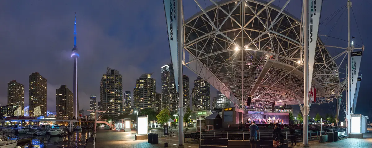
Stand on Front Street and look south: you are looking at land that used to be lake. Waterfront Toronto says that two hundred years ago the natural shoreline of Lake Ontario was at Front Street, and all of today’s central waterfront area was created by decades of lake infilling.
Where was Toronto’s original shoreline?
Two sources, two slightly different answers. Waterfront Toronto says the original shoreline was north of today’s rail corridor, and Front Street was built along its edge. Heritage Toronto says the more than 10,000-year-old Lake Ontario shoreline was just south of Front Street in 1841, and describes the area as a narrow stony beach that once bustled with people, goods and industry. Whichever phrasing you prefer, both point to the same stretch of the city.
The city’s roots are close by. Waterfront Toronto says construction on Fort York started in 1793 and is now considered the birth of urban Toronto.
Why did Toronto fill in the lake?
To make room. Waterfront Toronto says that by the 1830s and 1840s the lack of available land along the waterfront severely limited the growth of shipping, industrial and railway infrastructure. The answer was a massive lake-filling campaign in the 1850s that expanded the shore land south to the Esplanade.
How far did the shoreline move?
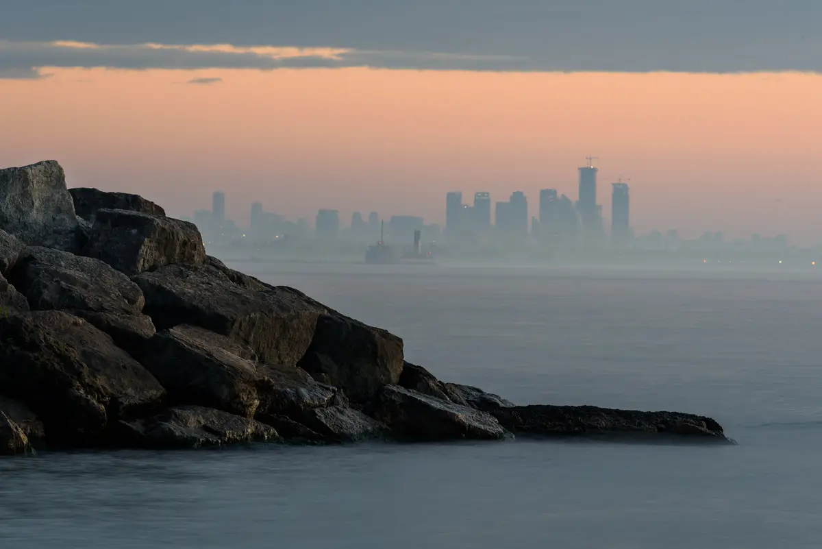
Farther than you might guess. Waterfront Toronto’s central waterfront history says that since the 1850s the shoreline has been extended almost one kilometre south into the harbour. For the next hundred years the shore was extended farther and farther south, and the filling continued until the 1950s, when the modern shoreline was achieved.
What did the Harbour Commission change?
A great deal. Waterfront Toronto says that in 1912 the Board of the Toronto Harbour Commission completed a plan for transforming Ashbridges Bay Marsh into a new industrial district with waterfront parks and summer homes. By 1922, it adds, more than 200 hectares (500 acres) of land had been created on the former marsh, with another 200 hectares soon to follow. Waterfront Toronto says the Port Lands sit on what was once the largest natural wetland on the Great Lakes.
In the central waterfront, Waterfront Toronto’s historical overview says the 1912 plan’s impact is most visible in the dockwall profile from the Western Channel to Bay Street, most of which was built between 1916 and 1921. It adds that a second wave of waterfront planning came in the early 1950s in anticipation of the opening of the St. Lawrence Seaway. East Bayfront, marshland in-filled in the 1950s, was developed as the Queen Elizabeth Docks for that same expected port activity.
How did the waterfront become a place to visit?
Over time, and by design. Waterfront Toronto says Harbourfront Centre, Queens Quay Terminal and the surrounding area are the result of one effort to redevelop the Central Waterfront in the early 1970s. In 1972 the federal government established Harbourfront Corporation, charged with that redevelopment.
Today you can walk it. Our guide to Toronto’s waterfront parks and the Harbourfront Centre guide show where.
Can you still trace the old shoreline?
With a little help. Heritage Toronto says it designed 10 plaques that will mark the shoreline that sat just south of Front Street in 1841. It has also listed a Shifting Shoreline walking tour, described as a chance to trace the shoreline that once ran near today’s Front Street. Check Heritage Toronto’s site for plaque and tour updates.
The tour’s listed route ran from the Dominion Public Building to St. Lawrence Market and Parliament Square Park. For the market’s own story, read our history of St. Lawrence Market.
How should you walk the waterfront with this history in mind?
Our suggestion, not an official route: begin at Front Street and head south toward the lake in a straight line. Count the blocks as you go, remembering that all of today’s central waterfront area was created by lake infilling. The harbour edge you reach is the result of filling that, by Waterfront Toronto’s account, continued for about a hundred years. Stop at the water, turn around and look back at the skyline. The skyline looks different once you know what lay beneath it.
What is the newest piece of the waterfront story?
A spit of land that is returning to a natural state. Heritage Toronto says the northern part of the Leslie Street Spit was named in 1983 for a former commissioner of parks known for his “Please Walk on the Grass” signs. The end of lakefilling in 2013 stopped the Spit’s growth, and the northern section was the first restored to a natural state.
Triangle Pond, a mini wetland near the end of the Spit completed in 1999, has provided habitat for beaver, muskrats, frogs, toads, newts and fish. Heritage Toronto adds that no other city has a feature like the Leslie Spit. For the other island story on this shoreline, see our history of the Toronto Islands.
What is the timeline at a glance?
- 1793: construction on Fort York starts.
- 1850s: a massive lake-filling campaign expands the shore land south to the Esplanade.
- 1912: the Toronto Harbour Commission completes its plan for Ashbridges Bay Marsh.
- 1916 to 1921: most of the dockwall from the Western Channel to Bay Street is built.
- 1950s: the filling ends and the modern shoreline is achieved.
- 1972: Harbourfront Corporation is established.
- 2013: lakefilling ends at the Leslie Street Spit.
For more of the city’s past, start with our history of Toronto guide.
Send this to the friend who thinks the lake was always this far from Front Street.
Sources (5)
- History & Heritage, Waterfront Toronto
- Central Waterfront History (Historical Overview), Waterfront Toronto
- 2025 Plaques Program Highlights, Heritage Toronto
- Shifting Shoreline, Heritage Toronto
- Treasure Island, Heritage Toronto
Spotted something out of date? Let us know.
How did this land?
Share this
“Saving this for the next lakeside walk: decades of lake-filling moved Toronto's shoreline south of Front Street.”