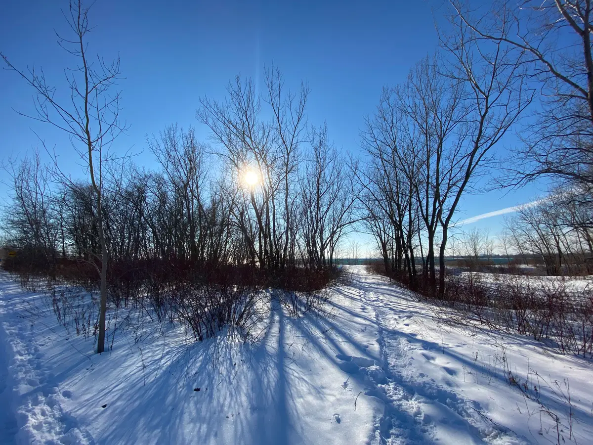
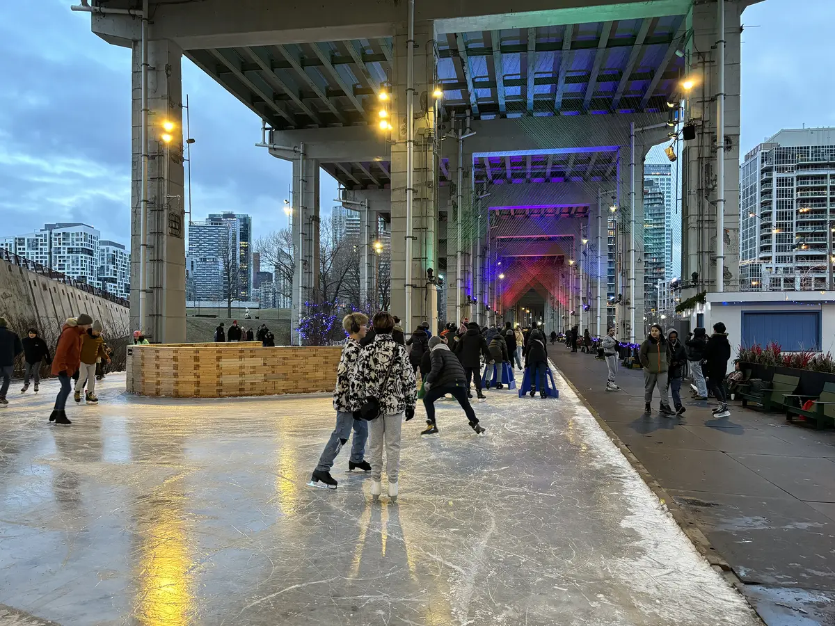
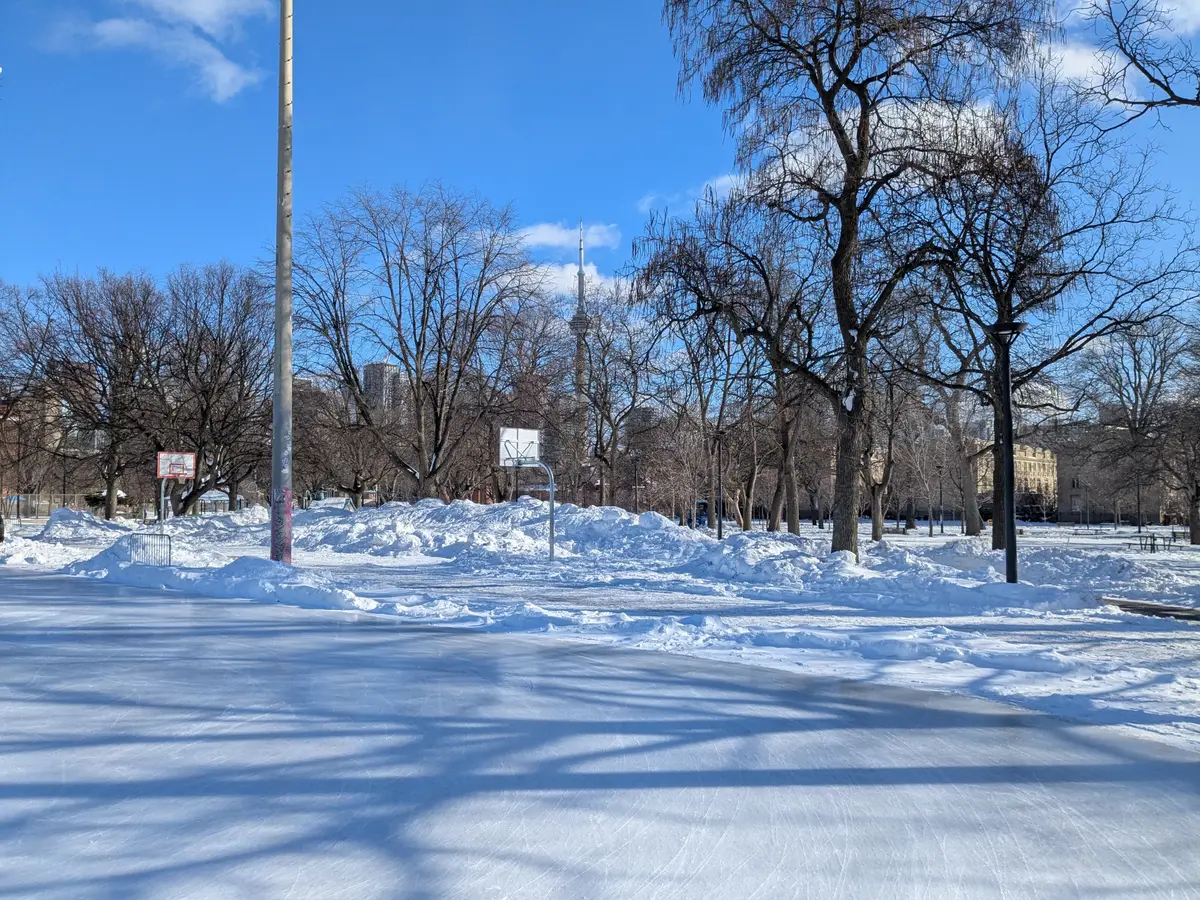
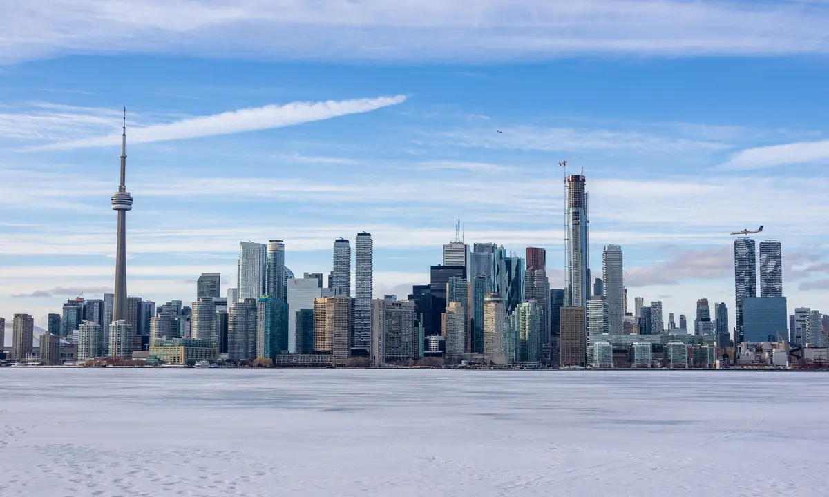
The City says this recreational trail runs from Cariboo Avenue to Dundas Street West, with an asphalt surface, over 2.1 kilometres. The City lists accessible entrances at six avenues plus the corner of Dundas Street West and Sterling Road. A good pick for a short, steady walk when you want a city view instead of a forest.
Outdoors DeskList
Winter Walks in Toronto: Graded by Surface, With Transit Tips
Eleven Toronto winter walks sorted by what is underfoot, from paved paths to natural trails, with transit starts and the gear hiking guides suggest.
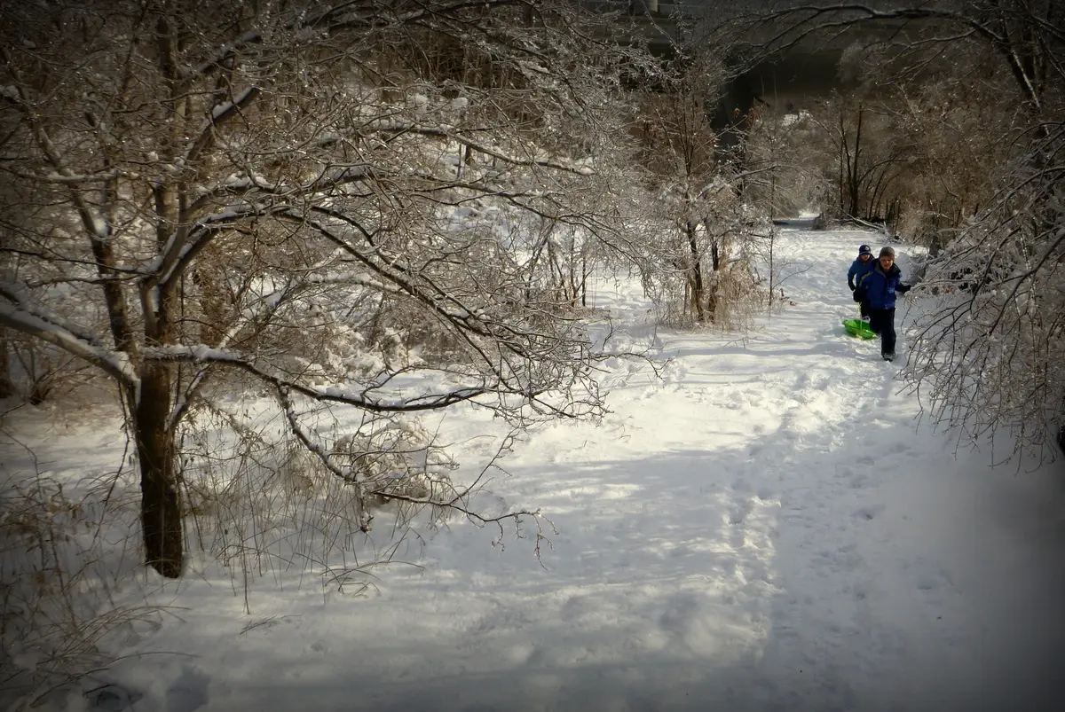
The first proper snow makes Toronto look like it has been rinsed. The trick is choosing the walk that suits the boots you own.
We sorted eleven walks into three grades, based on the surface each official source describes. Grade 1 is paved or boardwalk. Grade 2 is a mix. Grade 3 is natural surface, where we would bring grippers. The grades are our own editorial call, and conditions change daily, so treat them as a starting point, not a guarantee.
Grade 1: paved and boardwalk walks
Just east of the Don Valley Parkway and north of Eglinton Avenue. The City says its paved trail can be used year-round for hiking, biking and walking, and it passes through the Rainbow Bridge that drivers see heading north on the DVP.
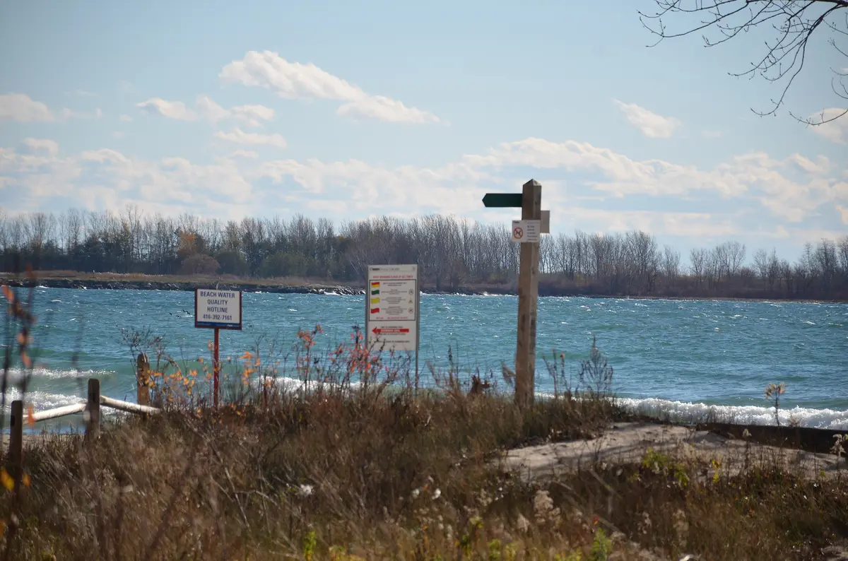
A 1.5-kilometre boardwalk, available year-round, with views of Lake Ontario, Tommy Thompson Park and Ward’s Island Beach. The City’s winter ferry schedule runs from October 14 to mid-April. Our full plan is in Toronto Islands in winter.
Grade 2: mixed surfaces
The City’s Discovery Walk estimates two hours or longer, suggests High Park subway station as a start and end point, and the route leads through High Park, along the Western Beaches Boardwalk and on to the Sunnyside Bathing Pavilion and the Humber Bike/Pedestrian Bridge. About two-thirds of High Park remains in a natural state, and the City says unpaved trails are not maintained in winter, and that there are six paved trail and/or sidewalk entrances. The 506 Carlton streetcar also runs between Main Street Station and the High Park Loop.
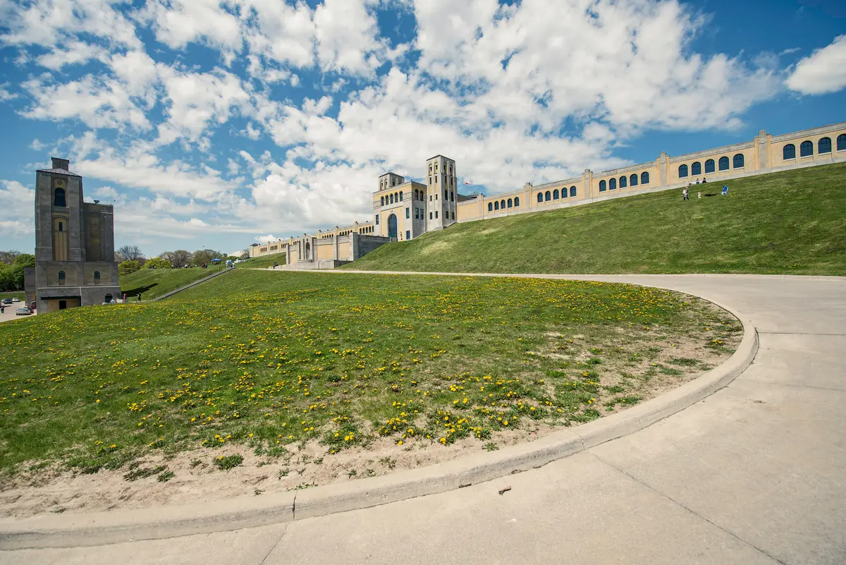
Follow the ravine down to the lake and along the Eastern Beaches and its boardwalk, passing an Art Deco water treatment plant. The City estimates two hours or longer. The City suggests the 64 Main or 501 Queen.
The park sits along a stretch of wooded shoreline in the Kipling and Lakeshore area. The City calls it one of Toronto’s most popular birding destinations, with a network of paths. Bring binoculars.
A loop on a mixture of paved, hard-packed and grass trails. It is our pick for people who like to change surface every few minutes and keep walking.
From Old Mill subway station the route passes the historic Old Mill and Old Mill Bridge, then riverside parklands and the Humber’s marshes. The City estimates two hours or longer. Our Humber River guide goes further.
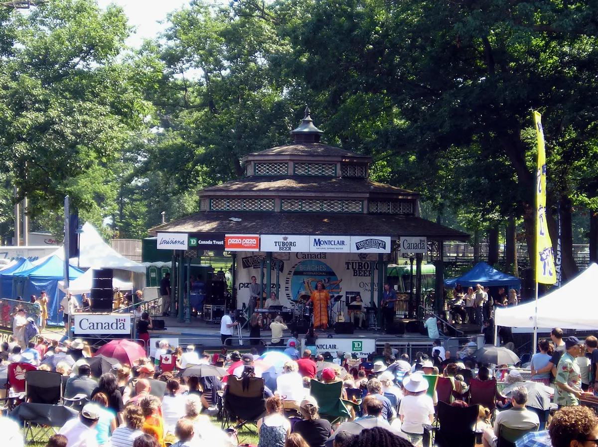
The City says the park has a ski hill, a band stage and well-maintained trails through a deciduous forest. Winter bare branches make it a good place to see the shape of the trees.
Grade 3: natural surface, bring grippers
Approximately 10 kilometres of natural surface trails in the Don River Valley. For an easier start, the City describes the 1.3 km Sun Valley Trail as granular-surfaced and classed as beginner, with one 100 m steep section.
Parks Canada rates it moderate, 1.5 km one way, with a two-level viewing platform. It says Rouge trail conditions vary with the weather, and the trails are not salted or cleared of ice and snow in winter. See our Rouge guide.
How did we grade the surfaces?
We read what each official page says about the ground. Words like paved, asphalt and boardwalk put a walk in grade 1. Walks that mix boardwalk, paved and unpaved stretches, or whose pages say mixture, hard-packed or well-maintained, sit in grade 2. Words like natural surface, or a statement that trails are not salted or cleared, put it in grade 3. That keeps the grading tied to published descriptions rather than to our own boots. Snow, thaws and shade will change the picture on any given day, so look at the sky before you leave and the path when you arrive, and walk the stretch that suits the day.
How do I get to the trailheads by transit?
Several of these walks are built around stations. The City’s Discovery Walks suggest High Park and Old Mill as starting stations, and the Eastern Beaches walk points to the 64 Main or 501 Queen. For the Island, the ferry is your transit. For the rest, check the TTC trip planner and the City’s links in the box below, since stops and detours change with the season.
What should I wear on a winter walk?
The Bruce Trail Conservancy says layers are the key to a successful winter hike. It advises waterproof boots and packing icers or crampons for added traction on slippery terrain. It suggests poles for balance in icy spots and deep snow, and checking sunset time and carrying a headlamp. Those tips are written for the Bruce Trail, but they travel well to Toronto’s natural-surface ravines.
Which walk should I pick?
Short on time? The Railpath. Want a lake view? The Island boardwalk or the Western Beaches. Want a subway start? The Discovery Walks begin at stations like High Park and Old Mill. Want a forest feel? Crothers Woods or Rouge, with grippers. More ideas live in our winter in Toronto guide and best hikes in Toronto.
Know before you go
Send this to the friend you would bring, the one who owns the good boots and never has a plan.
Sources (8)
- Trails, City of Toronto
- Ferry Routes & Schedules, City of Toronto
- Things To Do on Toronto Island, City of Toronto
- Discovery Tours, City of Toronto
- Trails, Rouge National Urban Park, Parks Canada
- Hiking in the Winter, Bruce Trail Conservancy
- High Park, City of Toronto
- Colonel Samuel Smith Park, City of Toronto
Spotted something out of date? Let us know.
How did this land?
Send this to the friend you would bring.
Share this
“Saving this for the first snowy Sunday: Toronto winter walks sorted by surface, with the transit starts.”