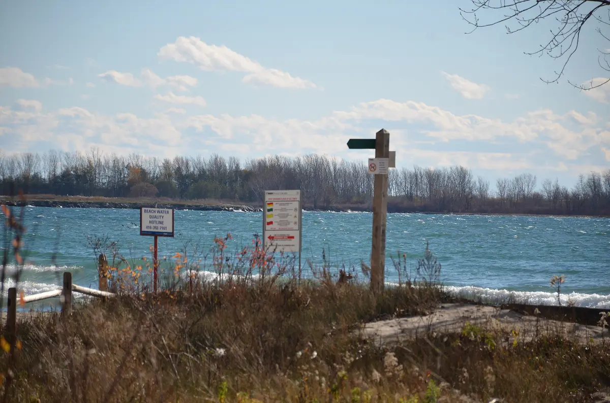
At over 43 hectares, Humber Bay Park is a destination park that the City says offers a quiet refuge on Toronto’s waterfront. It is defined by two peninsulas split by Mimico Creek, Humber Bay Park East and Humber Bay Park West. Start here if you want the lake to feel wide.
City DeskList
Toronto Waterfront Parks, From Humber Bay to the Beaches
Twelve waterfront parks and beaches in west-to-east order, with the ones that work in winter flagged, drawn from City, Waterfront Toronto and TRCA pages.
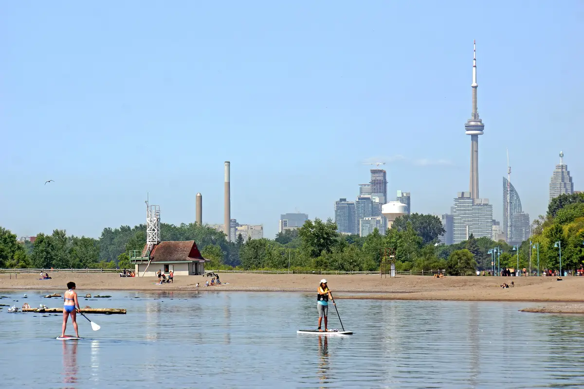
Toronto’s shoreline is a string of very different parks, and the best way to see it is west to east, one stop at a time. This is the order we would walk it, with notes on which ones still work when the lake turns grey.
Waterfront Toronto created a linear waterfront park in Etobicoke at Mimico, giving local residents lakefront access where none existed before. The Mimico guide has more to see nearby.
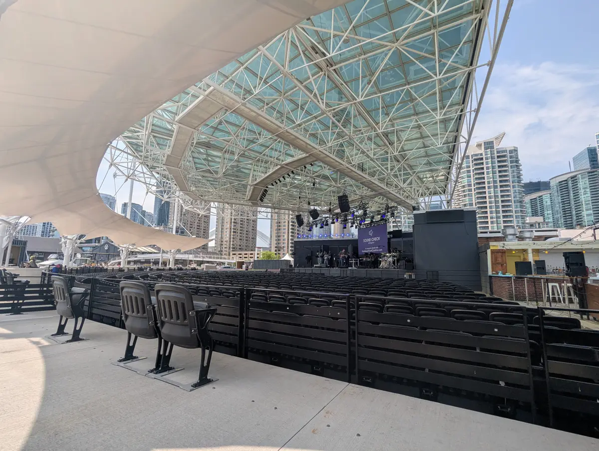
Just west of downtown, Waterfront Toronto enhanced park space and trails around Marilyn Bell Park. The addition to the Martin Goodman Trail at Ontario Place is an important piece in connecting the wider waterfront trail. Bring a bike or good shoes.
Waterfront Toronto built three wavedecks at the heads of the Spadina, Rees and Simcoe slips. They offer a way to experience the water’s edge in the central waterfront, and their design was inspired by the undulating shorelines of Ontario’s Great Lakes. All three are accessible from all sides, with an accessible route marked by a stainless steel disc pathway. Our Harbourfront Centre guide covers more of the central waterfront.
Canada’s Sugar Beach transformed a surface parking lot in a former industrial area, and Waterfront Toronto calls it Toronto’s second urban beach. The two-acre park sits at the foot of Lower Jarvis Street next to the Redpath Sugar Factory. Its brightly coloured pink beach umbrellas welcome visitors to East Bayfront. Bring a book: Waterfront Toronto says the beach lets visitors while away the afternoon, whether they read, play in the sand or watch boats on the lake.
The 1.5-hectare park spans more than two city blocks, from Lake Ontario to Lake Shore Boulevard, on both sides of Queens Quay. A 240-metre water channel is fed by three sculptures called Light Showers. In winter the park has a 920-square-metre skating rink with views of Lake Ontario and the downtown skyline. Waterfront Toronto and the City also unveiled Unfinished Arch, a public artwork by Rafael Lozano-Hemmer, here on June 1, 2026. It invites you to complete the arch with your presence and touch. Waterfront Toronto says it has become a well-used destination for residents and visitors all year round. A winter pick.
This 0.75-acre park has places for children and pets to play and quiet spots to relax. Its knoll slopes toward Lake Ontario and is described as an ideal spot for sunbathing in summer and sledding in winter. Another winter pick.
East Bayfront offers three public parks, Sugar Beach, Sherbourne Common and Aitken Place Park, as well as a kilometre-long continuous Water’s Edge Promenade. Waterfront Toronto describes it as stretching from Canada’s Sugar Beach to Parliament Slip, providing continuous open space along the lakefront, connected by a red and white maple leaf granite mosaic. We would walk it while you are in the neighbourhood.
Waterfront Toronto announced on July 24, 2026 that 10 new acres had opened, and the sections opened in 2025 and 2026 total approximately 60 acres, with five more to come. Visitors can paddle from Canoe Cove, explore a naturalized river valley, gather on a 3,000-person event lawn and take in views of Lake Ontario and the skyline from the Water’s Edge Promenade. Waterfront Toronto says the Lassonde Art Trail, together with its eastern section, now features 15 installations. Biidaasige means “sunlight shining toward us” in Anishinaabemowin, and the park is located near Cherry Street on the island of Ookwemin Minising, meaning “place of the black cherry trees”. The City says the park celebrates waterway restoration and reconciliation. Motorized watercraft are prohibited in the Don River east of the Cherry Street South Bridge and Keating Channel, which the City says makes it ideal for paddlers. Kids will find a snowy owl play structure with a stage built into its belly, where they can perform or play sound features like a drum or bells.
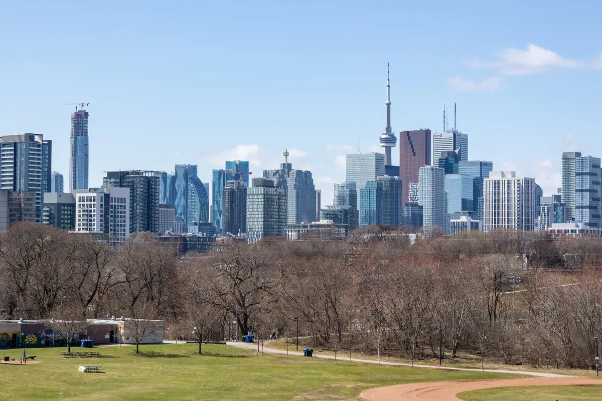
Waterfront Toronto lists it at 7.3 hectares and calls it the largest park in the area. It sits atop the area’s flood protection landform, and Waterfront Toronto says the elevations give views of the city from a vantage point not previously available in Toronto. Expect playgrounds, a splash pad, an athletic field and open lawns. The large marsh is home to birds, insects, frogs and ducks.
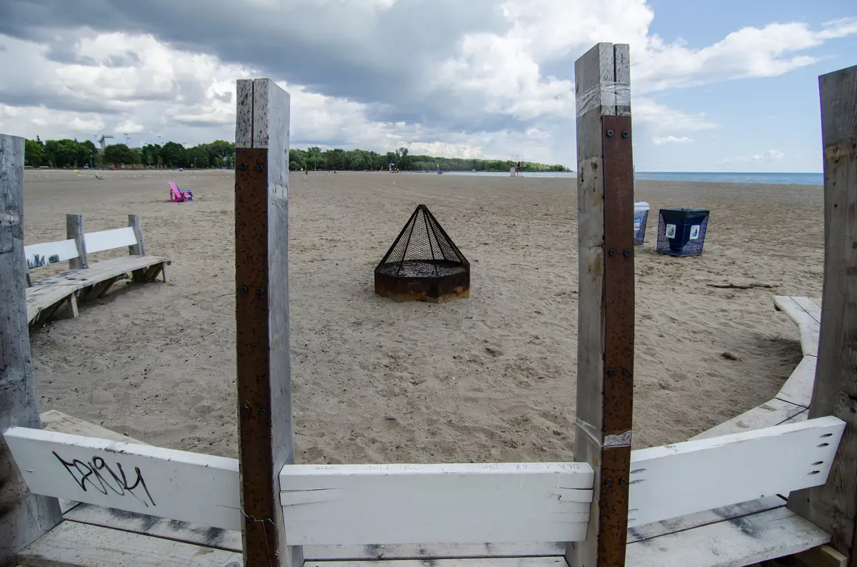
The City points to the vibrant atmosphere of Woodbine Beach among Toronto’s supervised swimming beaches. The beach has expanded mesh plastic mats that reach all the way to the water’s edge. The City says seven out of 10 of its supervised swimming beaches have received the Blue Flag award, so check its page to see which. The City lists Cherry/Clarke Beach Park next door, with parking available. See our guide to the best beaches in Toronto for the full list.
TRCA calls it Toronto’s Urban Wilderness, with more than 300 recorded bird species. Some visitors explore it in winter for cross-country skiing or snowshoeing, though TRCA notes that trails are not maintained in winter. Check TRCA’s visitor information for park hours and notices before you go. Our Tommy Thompson Park visit plan has the owl etiquette.
Which Toronto waterfront parks work in winter?
Two of the parks above are described for the cold: Sherbourne Common has a winter skating rink, and Aitken Place Park’s knoll is described as a sledding spot. Tommy Thompson Park draws some hardy winter visitors too. For a different winter waterfront, see Toronto Islands in winter. The City notes that the Centre Island beach is reached by ferry or private water taxi.
How many of these can you do in a day?
Our pick is to string entries five to eight into one outing, since they share the East Bayfront. Pair them with a look at parks in Toronto when you are planning a longer loop.
Send this to the friend you would bring to the lake, even when it is cold.
Sources (16)
- Humber Bay Park Master Plan, City of Toronto
- Wider Waterfront, Waterfront Toronto
- Central Waterfront, Waterfront Toronto
- Wavedecks, Waterfront Toronto
- Canada's Sugar Beach, Waterfront Toronto
- Sherbourne Common, Waterfront Toronto
- East Bayfront, Waterfront Toronto
- Aitken Place Park, Waterfront Toronto
- Water's Edge Promenade and Boardwalk (East), Waterfront Toronto
- Biidaasige Park opens 10 new acres of waterfront public space (news release), Waterfront Toronto
- Biidaasige Park, City of Toronto
- Recreation at Biidaasige Park, City of Toronto
- Corktown Common, Waterfront Toronto
- Beaches, City of Toronto
- Tommy Thompson Park, Toronto and Region Conservation Authority
- Visitor Information, Toronto and Region Conservation Authority
Spotted something out of date? Let us know.
How did this land?
Send this to the friend you would bring.
Share this
“Saving this for the first mild weekend: every waterfront park from Humber Bay to the Beaches, in order, with the winter ones flagged.”