Archive DeskFeature
History of the Toronto Islands: From Peninsula to Park
A lighthouse older than the islands, a storm that cut the sandy peninsula loose and the ferries that linked it to the city. The islands' story, sourced.
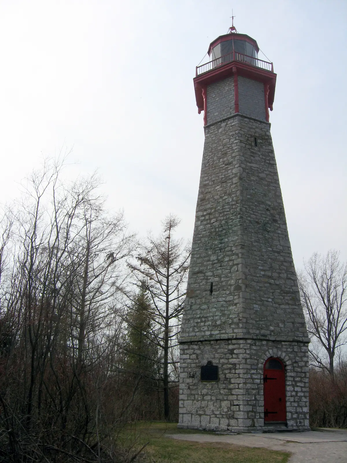
The lighthouse on Gibraltar Point is older than the islands it stands on. That is the kind of fact the ferry ride across the harbour should come with.
How did the Toronto Islands form?
Start with the Mississaugas of the Credit First Nation, whose re-creation story takes in the whole shoreline. In that story, the people saw with their own eyes Lake Ontario’s erosion of the Scarborough Bluffs and its simultaneous creation of the peninsula that would one day become Toronto Island. For the Mississaugas, water was, and is, a living spiritual being that flowed through all aspects of life.
For thousands of years the Island has been a site of healing, ceremony and gathering for the Mississaugas of the Credit First Nation and other Indigenous communities, the City says. Keep that in mind when you step off the ferry. Every story after this one is built on that foundation.
When did the peninsula become islands?
In stages. An 1852 storm flooded some sand pits on the peninsula, creating a channel east of what is now Ward’s Island. Then came the storm of April 13, 1858, the date the Toronto Public Library gives, which completely detached the peninsula from the mainland. The resulting Eastern Gap was not repaired or filled in. With the gap left open, the peninsula stayed cut off, and that is how it became islands.
Why is the lighthouse older than the islands?
Because it was built when the land was still a peninsula. In 1803 the Upper Canada Legislature passed an act to establish lighthouses at Niagara-on-the-Lake, Gibraltar (Toronto) and Isle de Forest (Kingston), and Lieutenant Governor Francis Gore chose the specific construction location. The Toronto Public Library says the Gibraltar Point Lighthouse was completed in 1808, though sources vary on the exact date construction began.
The tower is hexagonal, with walls six feet thick at the base. In 1832 it was raised to 64 feet of stonework, which made it 82 feet from ground to vane. The light was electrified in 1916 to display a flashing 240-degree arc, changed to a fixed light in 1945 and replaced by a nearby signal tower in 1958.
Today the City says that, at over 200 years old, it is the oldest stone building in Toronto and Canada’s oldest standing lighthouse. It is located on Gibraltar Point, just north of Gibraltar Point Beach. Here is a nice twist: sediment and land reclamation have extended the islands, so the lighthouse, once about eight metres from the water, is now roughly 100 metres away.
How did island neighbourhoods grow?
The City of Toronto Archives traces the story through housing. By 1900 Toronto Island consisted of a 200-acre park and residential areas on Hanlan’s Point, Centre Island and Ward’s Island, housing both permanent and summer residents. The Archives’ online exhibit pairs the story with a 1907 photograph titled Island houses, Hanlan’s Point, by William James, and a February 18, 1944 photograph titled Life on Island, milkman. During the substantial housing shortage of the Second World War, the City encouraged winterization of cottages, leading to an increase in permanent residents.
How did the ferries become part of the story?
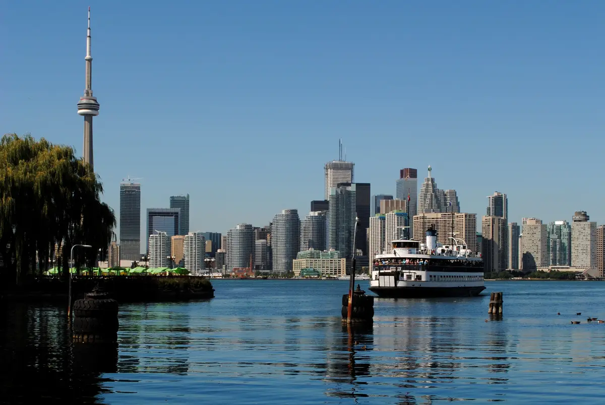
You cannot tell the islands’ story without the boats. The Toronto Ferry Company, founded by businessman Lol Solman in 1892, ran the island ferries until the City of Toronto purchased the company in 1926. In February 1927 the City made a special agreement with the TTC to operate the municipally owned fleet, and the Thomas Rennie was added in 1951.
What can you still see from that history?
More than you might expect. The William Meany Maze recreates the original Toronto Island maze, a landmark built in 1967 to honour Canada’s centennial year. There are two permanent public art installations on the Island: the Edward Hanlan statue at Hanlan’s Point Ferry Dock and the Fire and Water clock on the Ward’s Island fire station tower. At Ward’s Ferry Dock, the City describes a recently refurbished historical Waiting Shed surrounded by a native shrub and perennial garden.
What is the timeline at a glance?
- 1803: the Upper Canada Legislature passes the act to establish lighthouses, including one at Gibraltar (Toronto).
- 1808: the Gibraltar Point Lighthouse is completed.
- 1852: a storm creates a channel east of what is now Ward’s Island.
- 1858: the storm of April 13 completely detaches the peninsula from the mainland.
- 1892: the Toronto Ferry Company is founded.
- 1900: a 200-acre park and island homes are in place.
- 1927: the TTC begins operating the City’s ferry fleet under a special agreement.
- 1967: the original island maze is built to honour Canada’s centennial year.
How should you read the islands on your next visit?
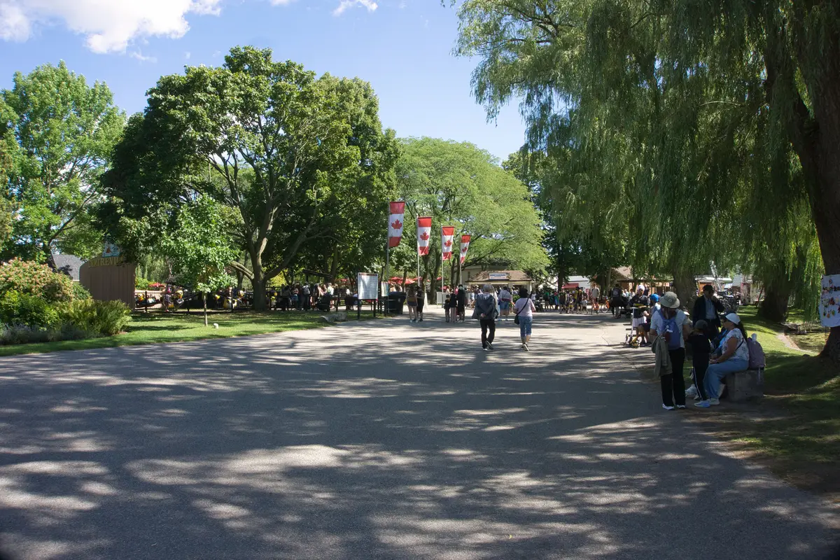
Our suggestion, not an official route: take the ferry out and let the story run backwards. Look for the lighthouse first, then walk toward the shoreline and ask yourself where the water used to be. Then go looking for the maze, the statue and the clock. The City calls Toronto Island a cherished public space and one of Toronto’s most beloved parks.
If you are planning a cold-weather trip, our Toronto Islands in winter guide covers ferry timing and what stays open. For other green and blue spaces along the water, try our guide to Toronto’s waterfront parks. To dig deeper into where the city’s name comes from, read how Toronto got its name. No longer used for its original purpose, the lighthouse occasionally opens for tours or Doors Open Toronto (see our Doors Open Toronto guide), so watch for the program. For the bigger picture, our history of Toronto guide puts the islands in context.
Send this to the friend who still thinks the islands were always islands.
Sources (7)
- Mississaugas were a people of the waters, Mississaugas of the Credit First Nation
- Toronto Island & Ferries, City of Toronto
- Things To Do on Toronto Island, City of Toronto
- Your Home Our City: Island Housing, City of Toronto Archives
- TTC Ferry Service to Toronto Island, City of Toronto
- Remembering the Toronto Islands: April 13, Snapshots in History, Toronto Public Library
- Gibraltar Point Lighthouse: History & Old Pictures, Toronto Public Library
Spotted something out of date? Let us know.
How did this land?
Share this
“Saving this for the ferry ride: how the Toronto Islands went from a sandy peninsula to a park, with a lighthouse older than the islands.”