Best Views of the Toronto Skyline: Where to Stand and When
Eight public viewpoints on official City, province, Waterfront Toronto and conservation pages, from a Riverdale hilltop to a winter rink, with transit notes.
Toronto’s skyline looks best from public ground: hilltops, piers and waterfront parkland open to everyone.
We picked eight public viewpoints that appear on official City, provincial, Waterfront Toronto or conservation pages, and we noted a time to go where the owner says something useful. Wrap up warm in winter, since several of these are even better in the cold.
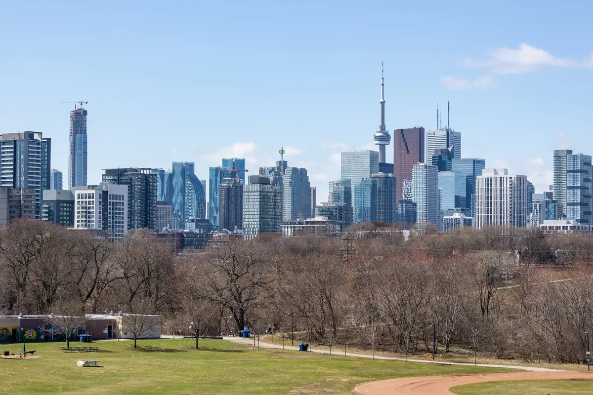
The City says Riverdale Park East draws crowds year-round with its breathtaking views of the downtown Toronto skyline. The City’s project page also says it is engaging the community to establish a lookout point with seating at the top of the hill adjacent to Broadview Avenue. Its listed timeline has construction starting in spring 2027 and finishing in fall 2027, and the City says the timeline is subject to change.
When: any season, according to the City. Getting there: plan your trip on the TTC’s trip planner.
Riverdale Park East, April 3, 2026Dillan Payne / Wikimedia Commons / CC BY-SA 4.02
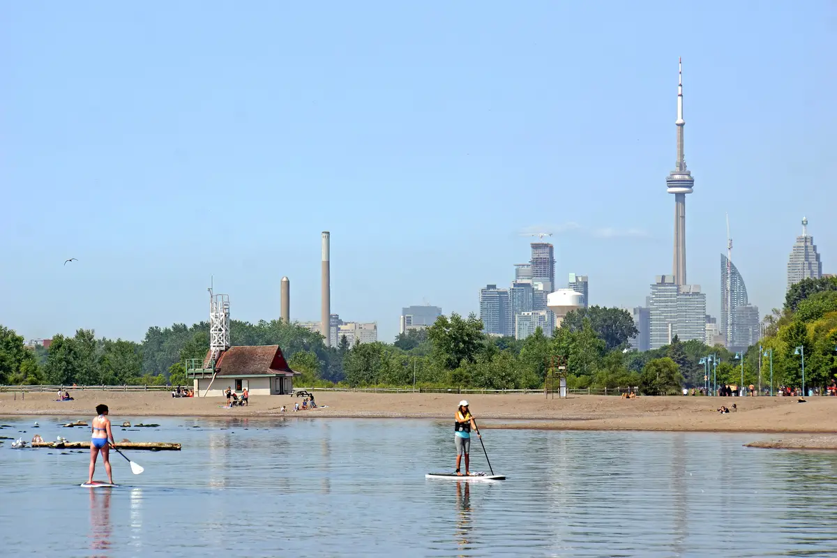
The City says the Centre Island pier, at Centre Island Beach and available year-round, provides views of the islands, Tommy Thompson Park and Toronto’s city skyline. The ferry ride is part of the show.
Getting there: the City says ferries run year-round from Jack Layton Ferry Terminal. From mid-April to mid-October, service runs on three routes to Centre Island, Hanlan’s Point and Ward’s Island, and a winter schedule runs from October 14 to mid-April. Check the City’s ferry schedule for the route running on your day before you plan on the pier.
The skyline viewed from Centre Island, August 2024TheWxResearcher / Wikimedia Commons / CC03
Ontario Place describes Trillium Park and the William G. Davis Trail as 7.5 acres of public green space on Toronto’s waterfront. Its own line about the summit is hard to beat: this is one of the best views in the city, of the city. The summit sits at the southern tip, the park’s highest elevation, with gentle slopes and rolling hills to sit on and look out to the lake.
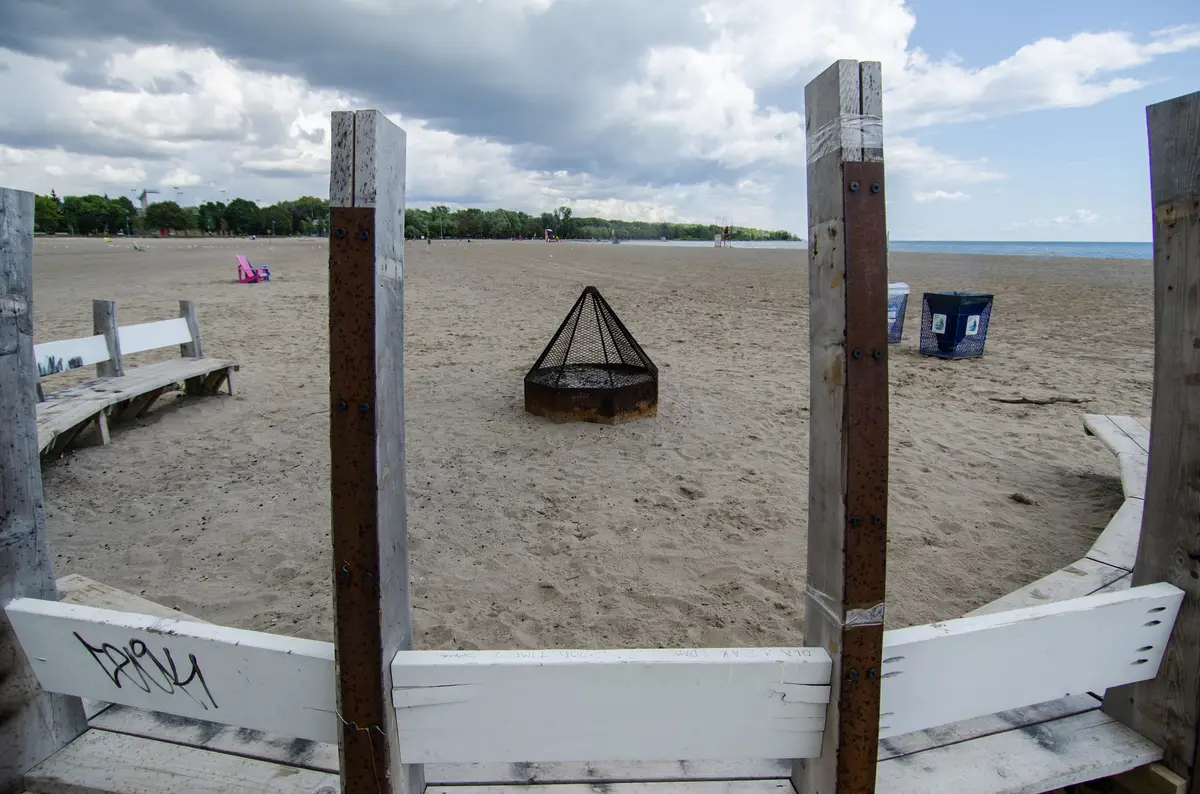
Bonus: a fire pit sits along the water’s edge, where visitors can take in views of the city. Getting there: see Ontario Place’s How To Get Here page.
Waterfront Toronto says the park’s design opens sightlines of the Toronto skyline and surrounding communities. The elevations provide stunning views of the city from a vantage point not previously available in Toronto. The park is 7.3 hectares, is operated by City of Toronto Parks, Forestry and Recreation, and officially opened in July 2014.
Getting there: the park is not accessible by car and parking is not available. By transit, take the 504 King streetcar to Lower River Street, then walk south to the park entrance on the east side of Bayview Avenue.
New for 2026. Waterfront Toronto’s July 2026 release says the park’s newest section includes a promontory, or elevated viewpoint, offering panoramic sightlines across the inner harbour and city skyline. The same release says visitors can take in sweeping views of Lake Ontario and the Toronto skyline from the Water’s Edge Promenade.
Getting there: TTC bus route 114 Queen’s Quay East stops along Cherry Street and Commissioners Street by the park, and bus route 72D Pape stops close by at Saulter Street and Commissioners Street.
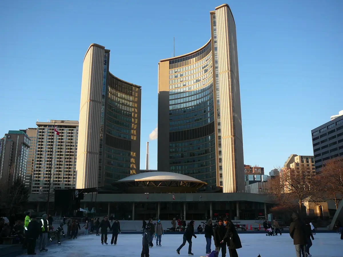
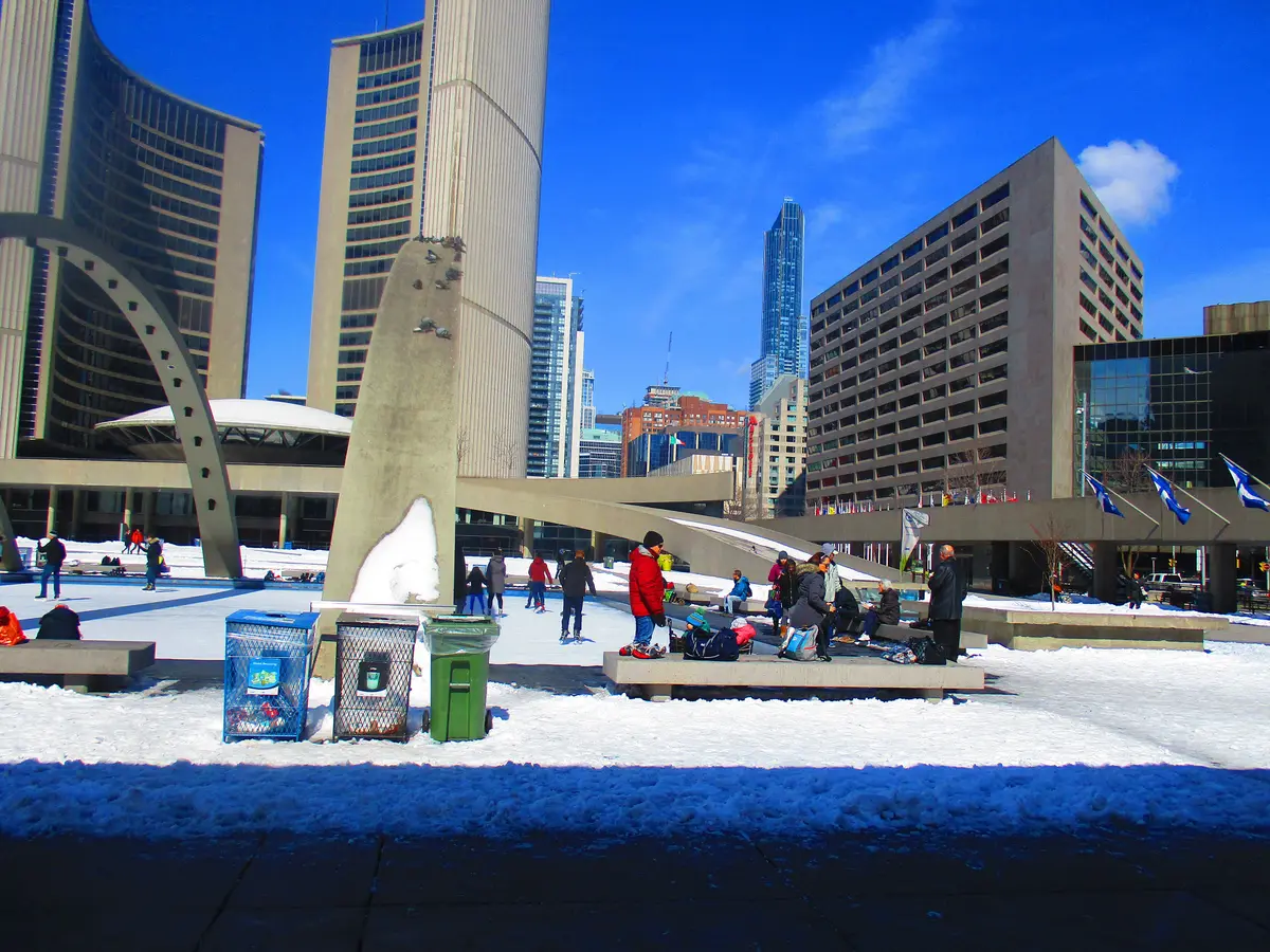
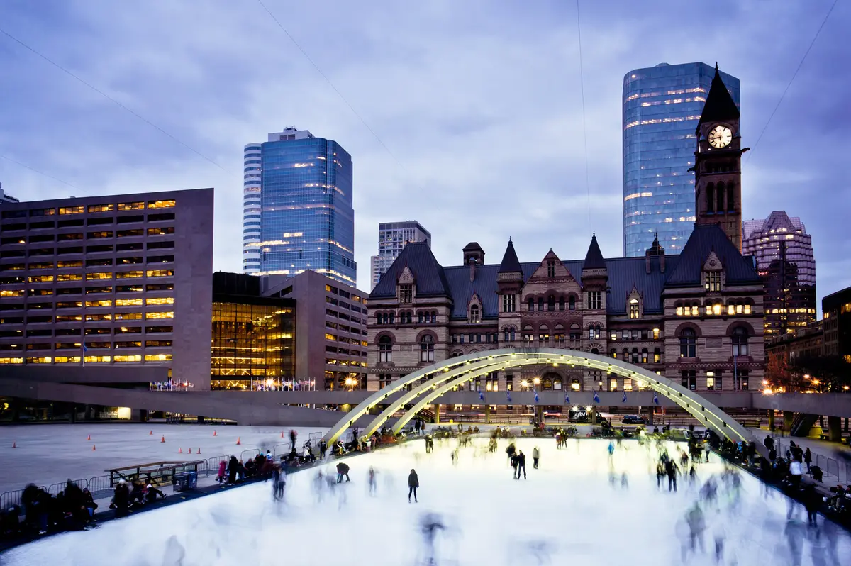
A winter skyline view with skates on. During the winter, Sherbourne Common includes a 920-square-metre skating rink with views of Lake Ontario and Toronto’s downtown skyline. The park is 1.5 hectares and spans more than two city blocks, from Lake Ontario in the south to Lake Shore Boulevard in the north, on both sides of Queens Quay. Our pick for a December evening. Check the City’s skating pages for the season and plan your trip on the TTC’s trip planner.
The City’s Humber Bay Park Master Plan says the shorelines of Humber Bay Park provide some of the most breathtaking views of the downtown Toronto skyline. Plan your trip on the TTC’s trip planner.
The park’s own site says that, in addition to its natural features, it offers picturesque views of the Toronto skyline and Lake Ontario. Spring, summer and fall are the most popular seasons for recreational activities such as hiking, running, roller-blading and leisure cycling on its trails.
Getting there: the park is a 5-minute walk from the Commissioner’s Street bus stop at Commissioner’s and Leslie, served by the 83 Jones Southbound bus, which runs between Donlands Station and Commissioner’s Street. Opening periods differ on weekdays and weekends, so check the park’s visitor page before you go. Read more in our Tommy Thompson Park guide.
How do you get to the skyline by transit?
Four of these spots have transit directions straight from their owners. The City says ferries run year-round from Jack Layton Ferry Terminal, so check its schedule for your route to the island pier. The 504 King streetcar to Lower River Street gets you to Corktown Common. TTC bus routes 114 and 72D stop at or near Biidaasige Park. The 83 Jones bus serves a short walk to Tommy Thompson Park. For the rest, the TTC’s trip planner will do the routing.
How do you pick a spot?
Match the view to the mood. For a quick hilltop stop, go to Riverdale Park East. For lake air, take the ferry. For golden-hour picnic energy, aim for the Trillium Park summit. For a shoreline walk with a skyline backdrop, head to Humber Bay Park. In winter, lace up at Sherbourne Common. Our Toronto Islands in winter guide is the cold-weather companion to this list.