Outdoors DeskGuide
Rouge National Urban Park Toronto: A Transit First Guide
Free to enter, open all year and reachable by TTC and GO. Here is how to pick a Rouge trail, get there without a car and plan for winter.
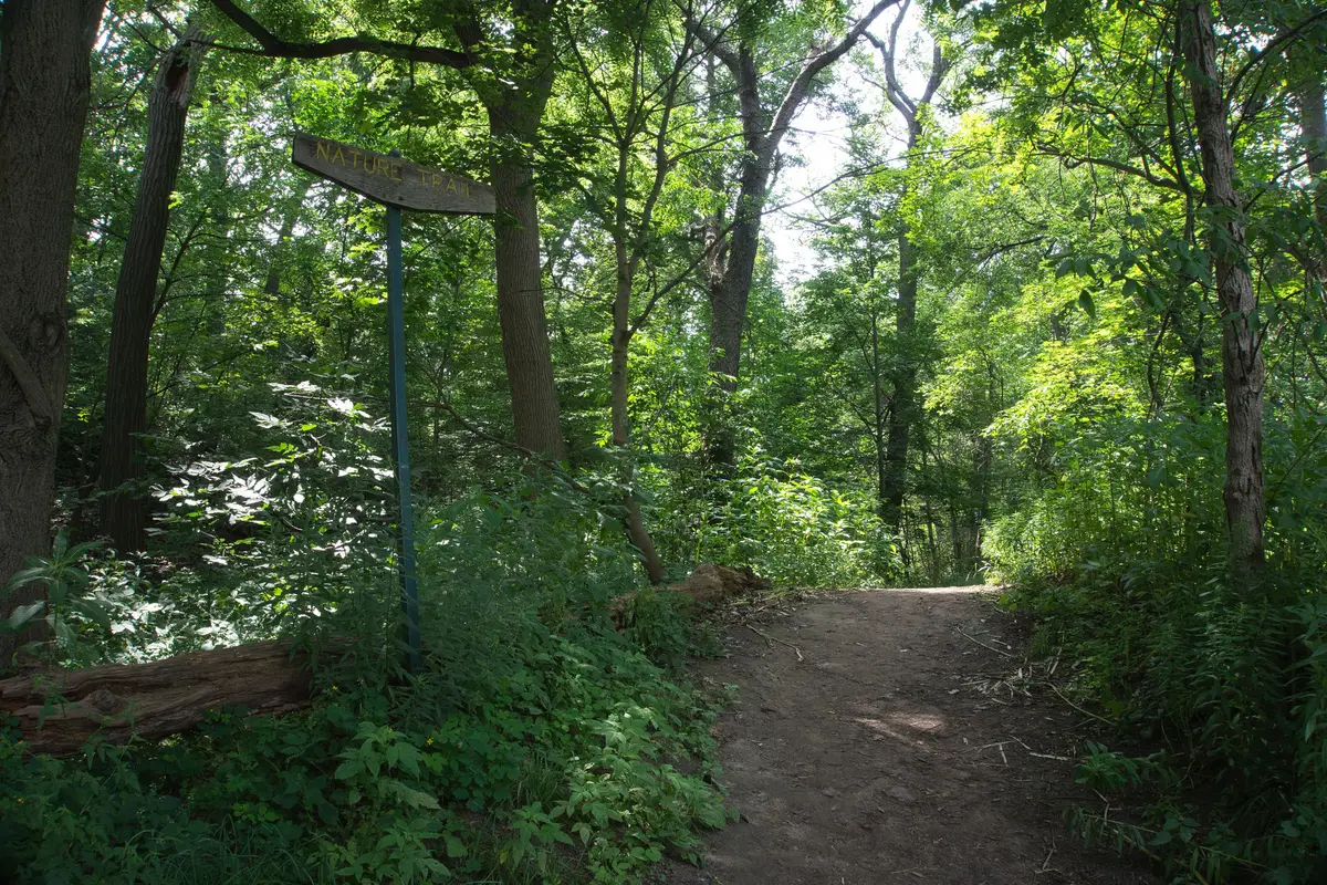
You can ride the subway to a wild river valley and be walking under mature trees before the coffee cools.
Rouge National Urban Park is free and open to the public 365 days a year. It sits in the Greater Toronto Area with many points of entry, and it spans Toronto, Markham, Pickering and Uxbridge. This guide starts with the trailheads you can reach without a car and sorts the trails by mood, using Parks Canada’s own pages for every detail.
What is Rouge National Urban Park?
Parks Canada describes it as one of the largest urban parks in North America. Inside are forests, creeks, farms, trails, marshland, a beach on Lake Ontario and human history spanning 10,000 years. The City of Toronto lists it as Toronto’s largest green space, operated and maintained by Parks Canada.
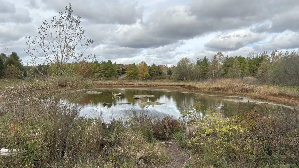
There are more than 50 km of trails, running from Lake Ontario to the Oak Ridges Moraine. They cross meadows, forests, wetlands and farmland, with views of the Rouge and Little Rouge rivers.
How do you get to Rouge National Urban Park by transit?
Parks Canada publishes transit directions for its day use areas, and its Glen Rouge page suggests planning your trip on Triplinx. Two of them start the same way, from Union Station on TTC Line 2 to Kennedy Station.
To Glen Rouge and the Mast Trail. At Kennedy, transfer to GO Transit Bus 92 and get off at Sheppard Avenue East at Kingston Road, then walk 900 metres. The Glen Rouge Day Use Area is at 7450 Kingston Road and is where the Mast Trail begins.
To Twyn Rivers and the lookout trails. From Kennedy, connect to Bus 86A towards the Toronto Zoo. Parks Canada’s route is a walk of about 10 minutes from Meadowvale Road at Sheppard Avenue to Twyn Rivers Drive, then about 1.4 km along Twyn Rivers Drive to the day use area. Three classic hikes start there: the Orchard and Vista trails north, and the Mast Trail south. Parks Canada’s Vista Trail page suggests public transit because parking is extremely limited, particularly on weekends.
The City has closed vehicle access on Twyn Rivers Drive between the Glen Eagles Vista Trail parking lot and the day use area until further notice, and the day use area itself remains open. That makes a transit visit and a walk-in arrival a natural pair.
Planning a different day out? The Woodland Day Use Area at 19 Reesor Road has no direct transit link, per Parks Canada, so it suits a bike or a carpool better.
Which Rouge trail should you pick?
Parks Canada lists distance, time and difficulty for every trail on its trails page. Here is how our short list reads.
For a first hike: Vista Trail and Glen Eagles Vista
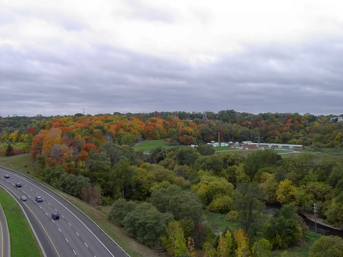
Parks Canada calls the Vista Trail’s two-level viewing platform one of the best places to see Toronto’s autumn colours and valley views. It is rated moderate and runs 1.5 km one way. The lookout gives views of the Little Rouge Creek and Rouge River valleys throughout the year. If you want something shorter and easy, the 600 m Glen Eagles Vista Trail has views of the rivers and the bluffs.
For a classic: Mast Trail and Orchard Trail
The Mast Trail follows a 200-year-old logging route where pine was floated down the river toward European shipyards. Parks Canada rates it moderate to difficult, with some steep hills, and it climbs a ridge before meeting the Orchard and Vista trails at Twyn Rivers Drive. Look for the hump where a 1950s ski hill, with its own lift and chalet, once stood.
The Orchard Trail is rated moderate at 2 km one way, and passes remnant orchards and an old mill.
For an easy stroll: Tallgrass Trek and Woodland Trail
The Tallgrass Trek is a 3.2 km easy loop past restored wetlands and meadows. The Woodland Trail is 3.5 km, rated easy, with shorter and longer options.
What should you know about winter visits?
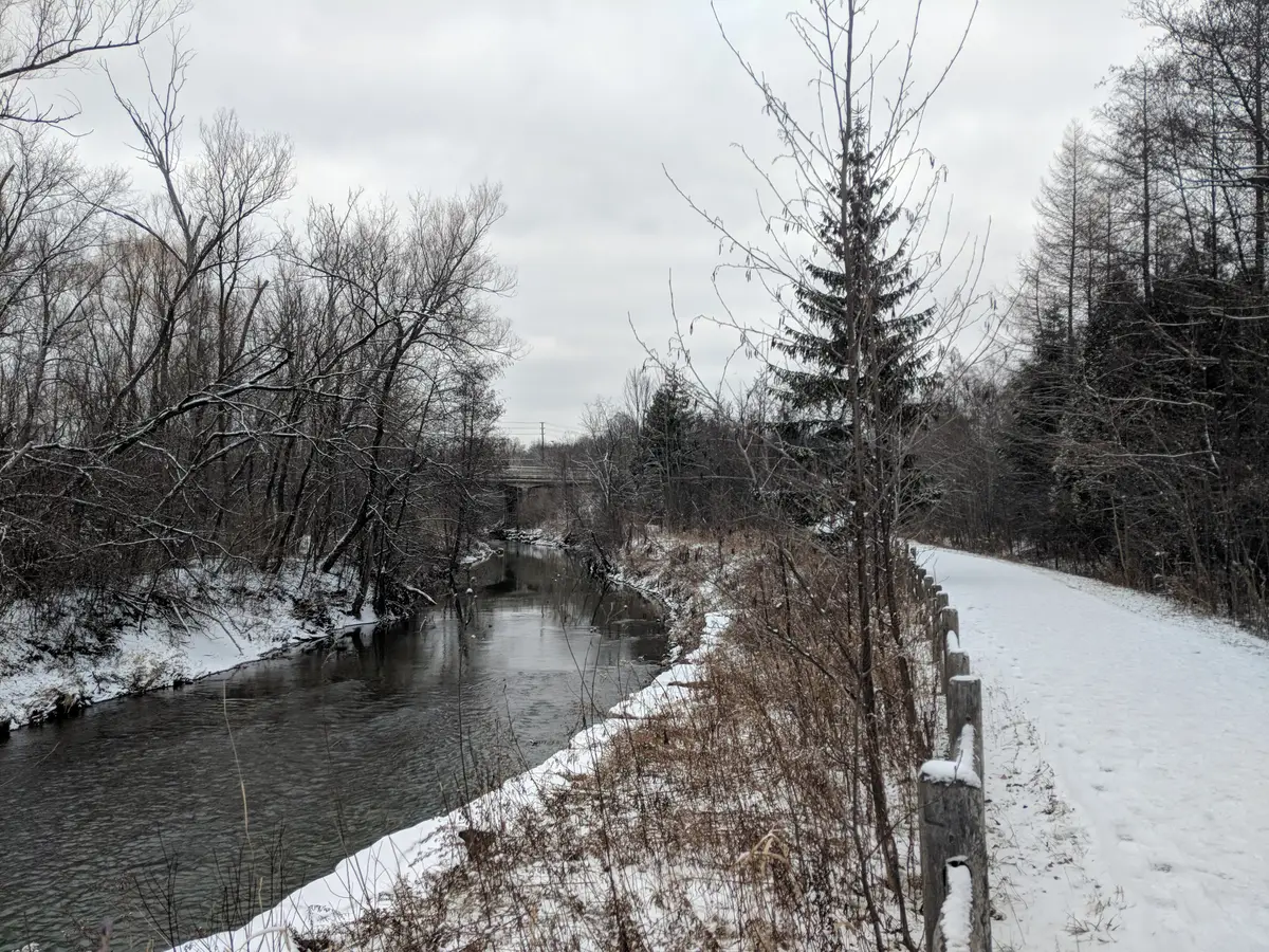
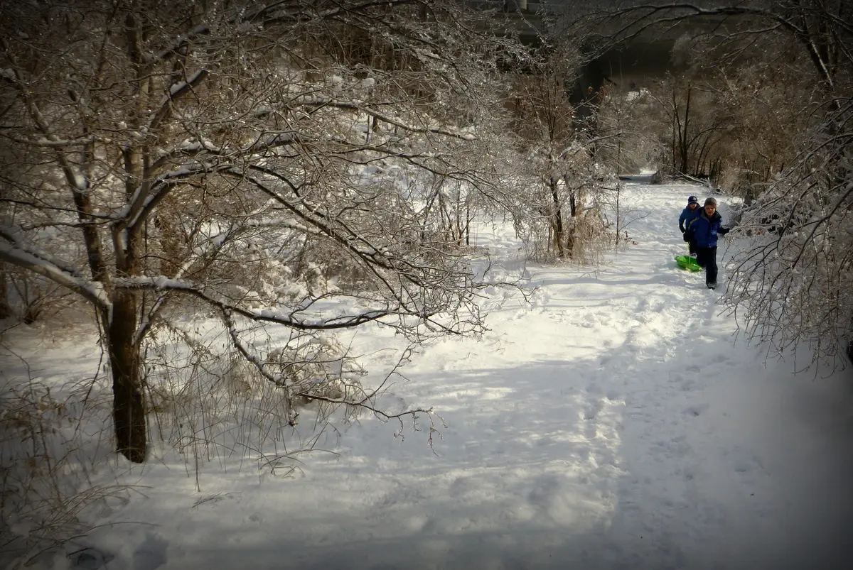
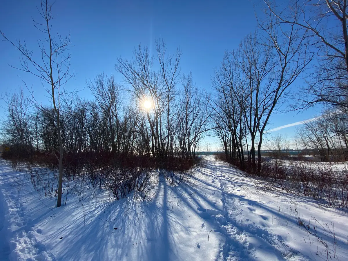
Rouge stays open through the cold months, and the park is clear about the conditions. Parks Canada notes that trails are not salted or cleared of ice and snow in winter, and that conditions vary with the weather. It also notes limited amenities, with no food or water on the trails or at trailheads, so pack a thermos. Parking lots may close temporarily in inclement weather, and the park links to live parking information. The park also points visitors to TRCA’s flood messages during heavy rain or snowmelt.
Parks Canada’s guided walks, led by volunteer leaders and staff, go ahead in rain, shine or snow, though they may be cancelled without notice in inclement weather. That is a friendly way to try a trail with someone who knows it.
Is anything closed right now?
Parks Canada’s park page says access to the Zoo Road Day Use Area and Rouge Beach and Marsh is currently closed, and it sends visitors to its Important bulletins page. That page is where the park posts current warnings, closures and restrictions, so give it a glance the night before. If you want a quieter outing, Parks Canada says the northern Rouge has different landscapes from the south and is often less busy.
For maps, Parks Canada offers a downloadable trail guide and park map. For more hikes across the city, see our guide to Toronto’s ravines and our roundup of the best hikes in Toronto. On the east side, the Lower Don Trail pairs well with a Rouge day, and our Scarborough Bluffs guide covers the lakeside cliffs nearby. More from this side of the city lives on our Scarborough hub.
Take the subway to Kennedy, hop a bus, and you are in the Rouge Valley.Send this to the friend you would bring for a first look at the Rouge Valley.
Sources (13)
- Rouge National Urban Park, Parks Canada
- Trails, Rouge National Urban Park, Parks Canada
- Mast Trail, Parks Canada
- Vista Trail, Parks Canada
- How to get here, Parks Canada
- Glen Rouge Day Use Area, Parks Canada
- Twyn Rivers Day Use Area, Parks Canada
- Woodland Day Use Area, Parks Canada
- Pre-arrival checklist, Parks Canada
- Plan your visit, Parks Canada
- Important bulletins, Parks Canada
- Guided walks, Parks Canada
- Trails, City of Toronto
Spotted something out of date? Let us know.
How did this land?
Share this
“Saving this for the next crisp weekend: Rouge National Urban Park by transit, trail by trail.”