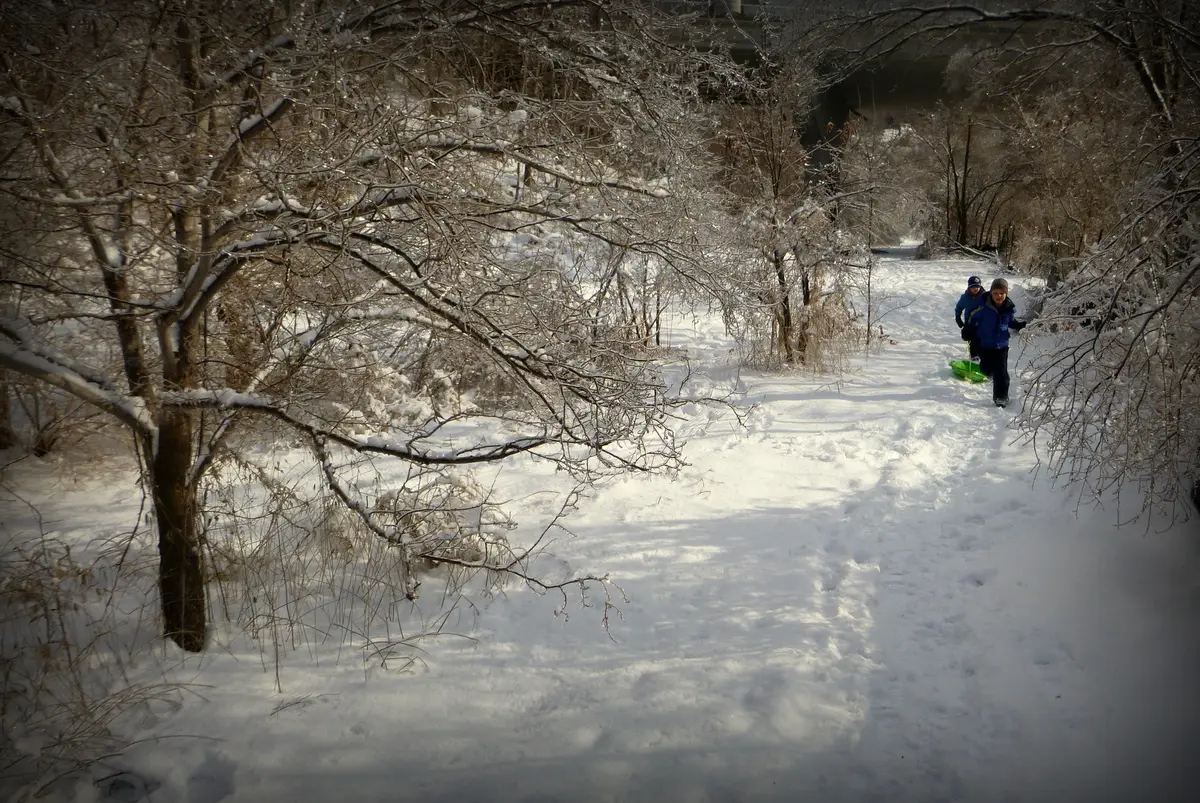
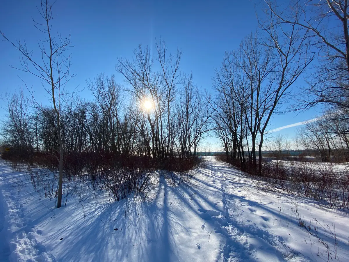
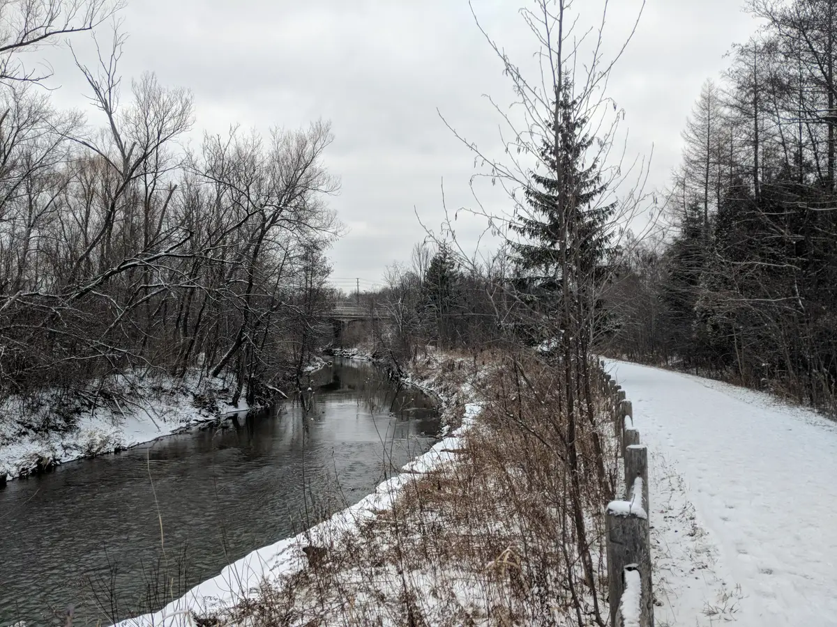
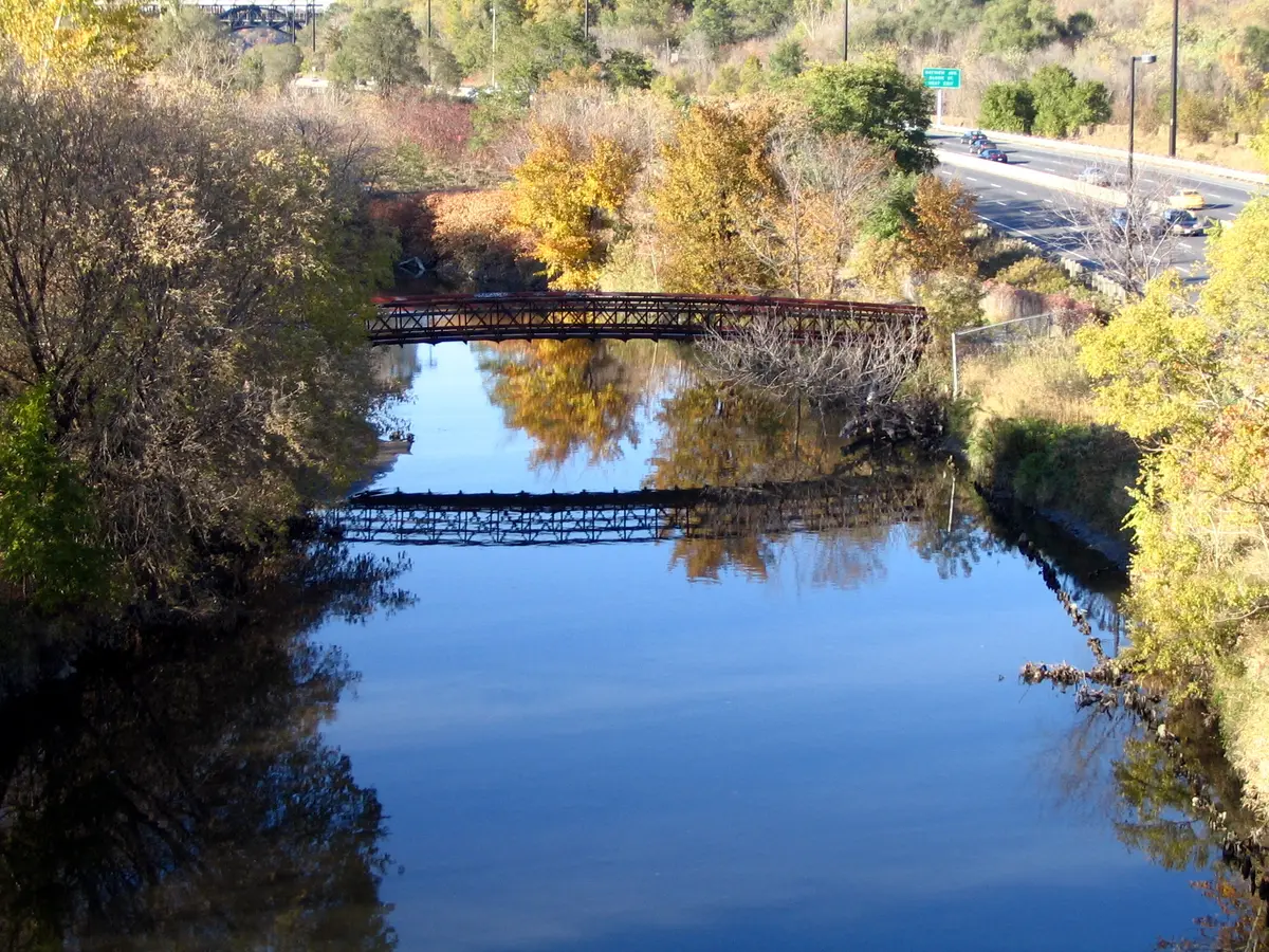
Parks Canada calls the Vista Trail’s two-level viewing platform one of the best places to see Toronto’s autumn colours. It is rated moderate and runs 1.5 km one way. The Mast Trail is rated moderate to difficult, with some steep hills. For transit, Parks Canada’s route is TTC Line 2 to Kennedy Station, then Bus 86A towards the Toronto Zoo. Winter note: the park is open 365 days a year, and trails are not salted or cleared of ice and snow. The trails cross meadows, forests, wetlands and farmland, with views of the Rouge and Little Rouge rivers. Look for the hump left by a 1950s ski hill, which once had its own lift and chalet. Full details are in our Rouge guide.
Outdoors DeskList
Best Hikes in Toronto: Distances, Transit and Winter Notes
Eleven ravine and valley hikes with official ratings, distances, TTC starting points and what each agency says about winter before you go.
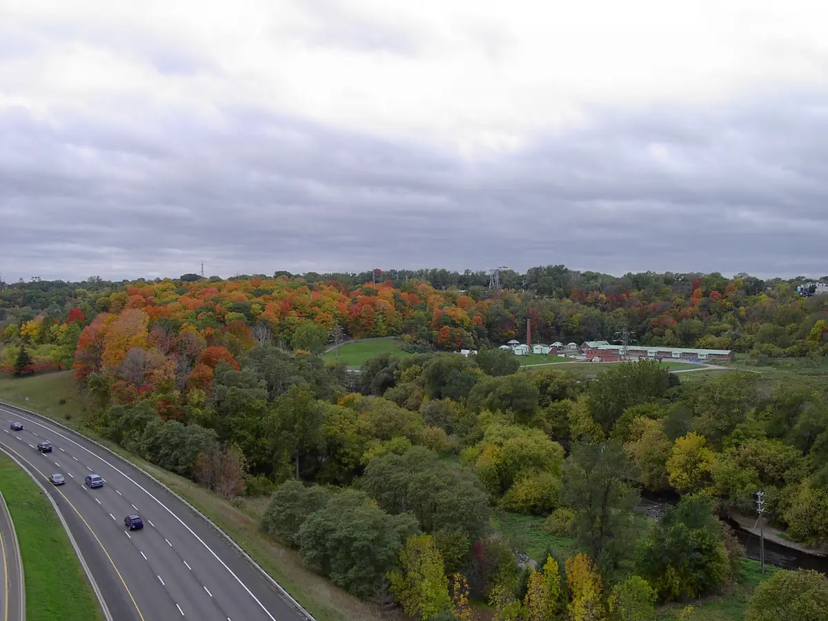
Some of Toronto’s ravine walks start right at a subway station.
Ratings on a trail are only useful when someone official gave them, so we stick to that. Where Parks Canada or the City publishes a difficulty rating, you will see it. Where it does not, we give you the distance and time from the City’s Discovery Walk route sheets (the current maps are on its Discovery Tours page), which link ravines, parks, gardens, beaches and neighbourhoods. The City’s route sheets add that all walks involve stairs and/or slopes.
About 9 km of natural dirt trails, with some steep sections, rated intermediate by the City. For an easier start, the 1.3 km Sun Valley Trail is a granular-surface beginner trail with one steep 100 m section.
Start at Broadview Subway Station and pass Riverdale Farm, the Prince Edward Viaduct, Chester Springs Marsh and Todmorden Mills. The City’s route sheet puts both loops together at approximately 10 km, and its Discovery Tours page says to allow two hours or longer. Our Lower Don Trail guide goes section by section.
Wooded Don River ravines and a former rail line, starting at Eglinton West Subway Station. The route also visits industrial heritage and the park-like grounds of Mount Pleasant Cemetery, so it reads like a tour of three Torontos in one afternoon. The City’s route sheet gives it as approximately 11 km with about three hours as a minimum, which makes it the longest of the City’s walks in this list.
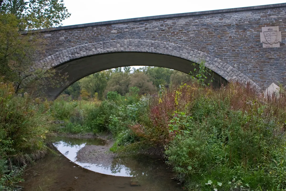
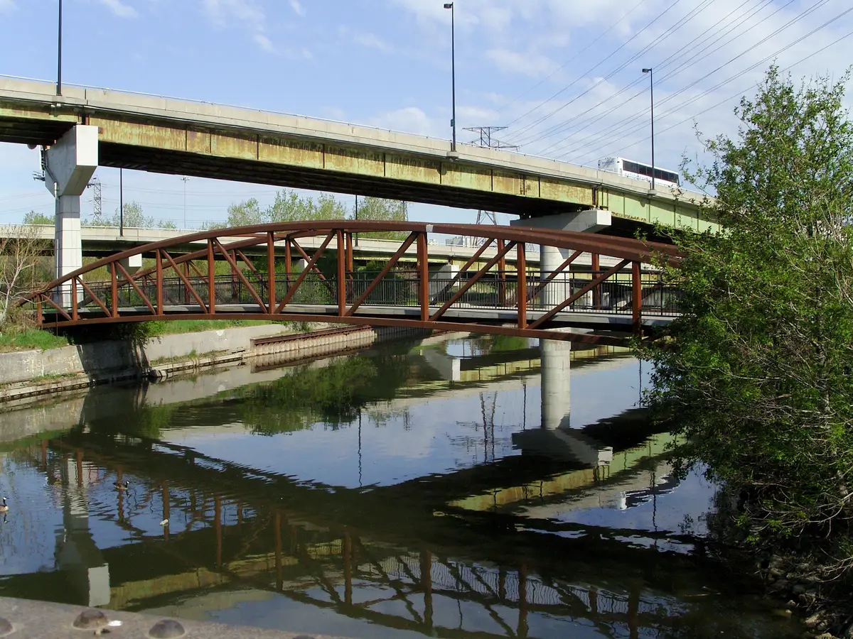
The City’s route sheet gives approximately 7.3 km and about two hours as a minimum, reachable by the Bloor-Danforth subway to Old Mill Station. The route passes the historic Old Mill and Old Mill Bridge, then riverside parklands and the Humber’s marshes. Mills have stood at the Old Mill site since 1793, and the present stone arch bridge dates from 1916. TRCA adds that the Humber is a designated Canadian Heritage River, the only one in the GTA. Our Humber River guide covers the lakeshore end too.
A loop on paved, hard-packed and grass trails. The City’s route sheet gives approximately 10 km and at least 2.5 hours, with a shortcut loop as an option.
Start at High Park Subway Station, walk through High Park, along the Western Beaches Boardwalk and out to the Humber pedestrian bridge. The City’s route sheet gives approximately 6.7 km and about 2.5 hours as a minimum.
Start at the north end of Glen Stewart Ravine, follow it down to the lake, then explore the Eastern Beaches and boardwalk. Along the way you pass an Art Deco water treatment plant and a Beaches neighbourhood. The City’s route sheet gives approximately 9.1 km and about three hours as a minimum, and it suggests the 64 Main bus south from Main Street Station.
A short one: through the Lawrence Park, Chatsworth, Blythwood and Sherwood Park ravines, starting at Lawrence Subway Station. At approximately 4.8 km and about 1.5 hours as a minimum, per the City’s route sheet, it is the quickest on our list.
The City says it has a paved trail that can be used year-round for hiking, biking and walking, which is our pick when you want a winter-friendly surface.
The City lists eleven parks along 15 km of bluffs. The TTC says its seasonal 201 Bluffer’s Park route, which operates through spring, summer and autumn, rides directly to the base of the bluffs. Our Scarborough Bluffs guide sorts the parks by view.
Which hike suits which day?
Short on time? The 4.8 km Northern Ravines walk is the quickest of the City’s walks here. Want a long day out? The 11 km Central Ravines walk gives you the Belt Line and a wooded ravine. Want trees without a big climb? Start with the Sun Valley Trail, which the City rates beginner.
Which hikes start at a subway station?
Plenty of them. The City’s walks start at Broadview, Eglinton West, Old Mill, High Park and Lawrence stations. For Rouge, Parks Canada points you to Kennedy Station and a bus.
How we chose these hikes
We built this list from official pages only: Parks Canada for Rouge, the City of Toronto for its parks and Discovery Walks, TRCA for the Humber, and the TTC for the seasonal bus. If a trail has no published rating, we do not invent one. That keeps the list honest, and it means you can click through to the source for each.
How to plan your hike
The City’s route sheets say steps and paths are not lighted and not cleared of ice and snow, so winter walkers should start early and pack accordingly. For station-by-station starting points, the City’s Discovery Tours page lists the nearest TTC station for each walk, such as Broadview for the Don Valley and Old Mill for the Humber.
More trail ideas live in our guide to Toronto’s ravines.
Send this to the friend you would bring for a long walk and a longer lunch.
Sources (16)
- Trails, Rouge National Urban Park, Parks Canada
- Mast Trail, Parks Canada
- Twyn Rivers Day Use Area, Parks Canada
- Rouge National Urban Park, Parks Canada
- Discovery Tours, City of Toronto
- Trails, City of Toronto
- Crothers Woods, City of Toronto
- Don Valley Hills & Dales Discovery Walk, City of Toronto
- Central Ravines, Belt Line & Gardens Discovery Walk, City of Toronto
- Humber River, Old Mill & Marshes Discovery Walk, City of Toronto
- Humber Arboretum & West Humber River Valley Discovery Walk, City of Toronto
- Western Ravines & Beaches Discovery Walk, City of Toronto
- Eastern Ravine & Beaches Discovery Walk, City of Toronto
- Northern Ravines & Gardens Discovery Walk, City of Toronto
- Scarborough Bluffs, City of Toronto
- Visit some of Toronto's best summer spots with TTC's seasonal routes, Toronto Transit Commission
Spotted something out of date? Let us know.
How did this land?
Send this to the friend you would bring.
Share this
“Saving this for the next clear weekend: Toronto hikes with distances, TTC stops and winter notes.”