Don Valley Trails in Toronto: The Lower Don, Section by Section
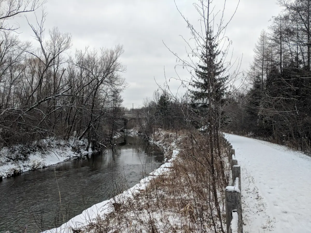
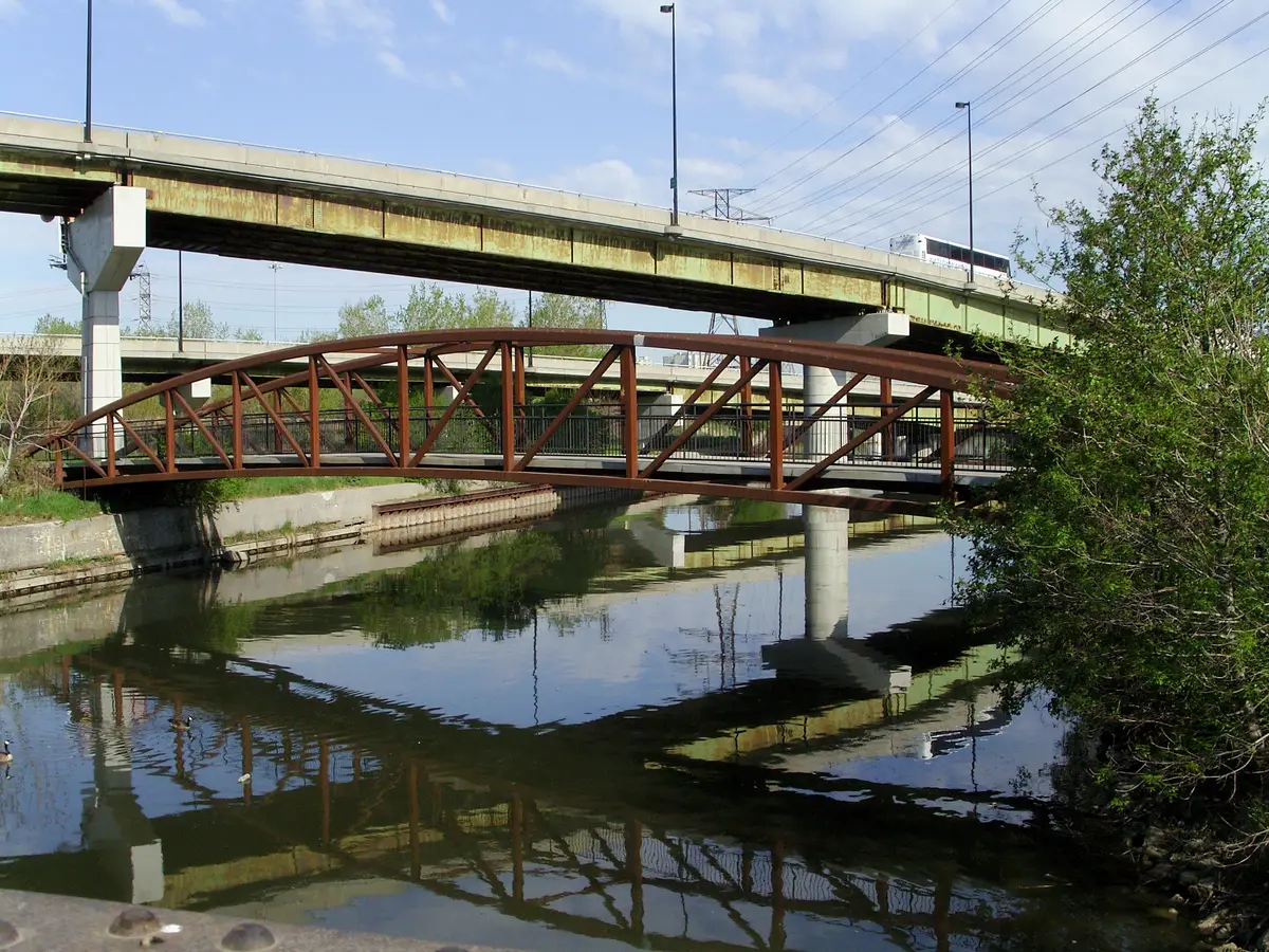
The Lower Don Trail is open again from Corktown Common to E.T. Seton Park. Walk it in sections, with the trails and parks that plug into it.
Ultimate guide
From the Don to the Humber and the Rouge: the trails that take the city down a notch.
5 stories in this guide, from 1 desk: Outdoors Desk.
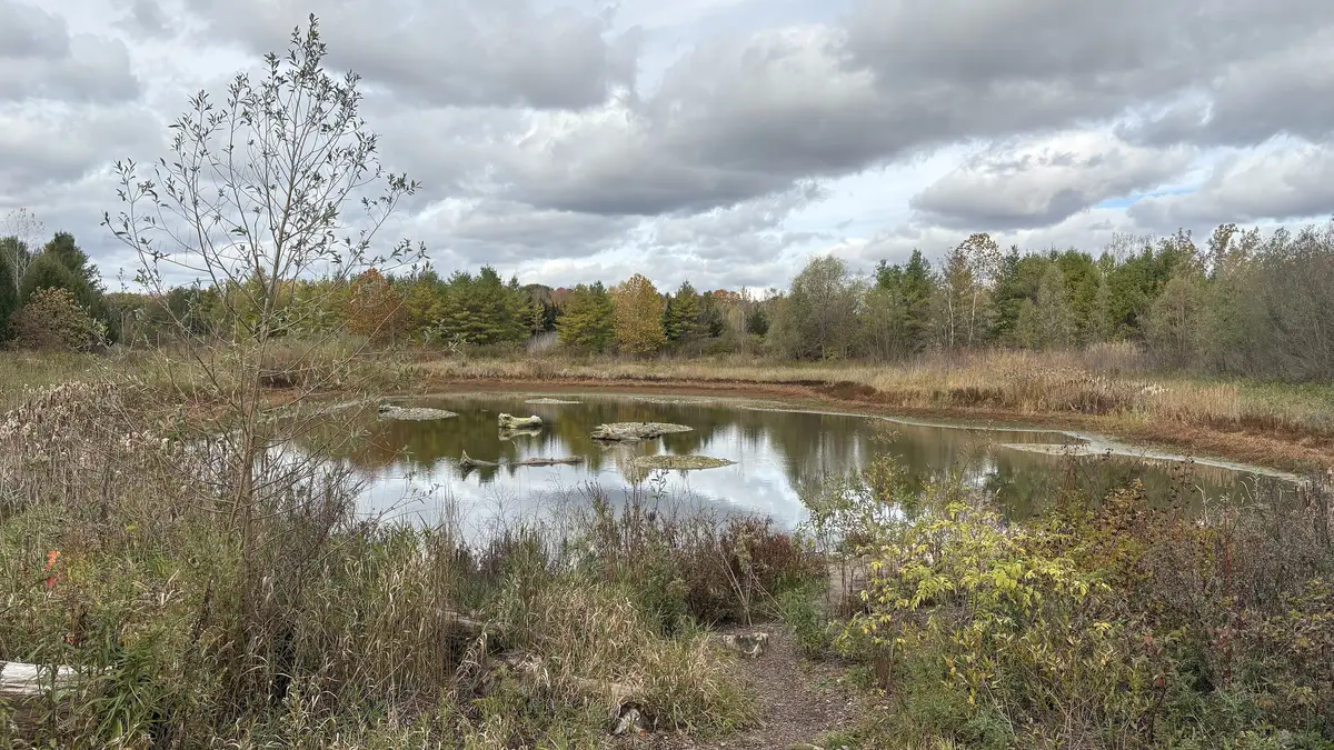
Some of Toronto's calmest moments happen below street level, in its ravines. This guide gathers our ravine coverage, from hikes worth a full afternoon to the Lower Don Trail, Crothers Woods, the Humber River Trail in Etobicoke and Rouge National Urban Park.
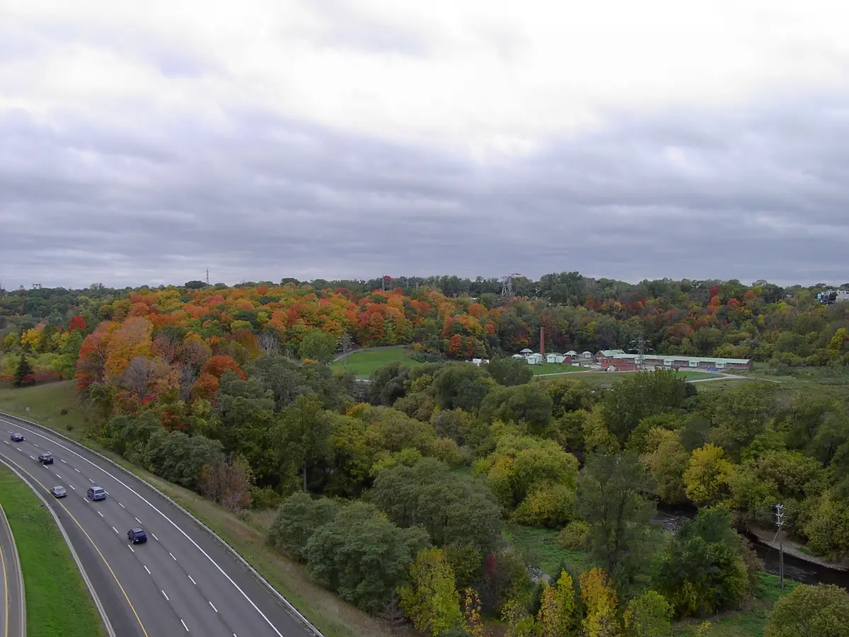
The City of Toronto describes its ravine system as more than 300 kilometres long and calls its ravines a signature feature of the city. The City's Ravine Strategy notes that infrastructure such as the Don Valley Parkway and the Lower Don Trail can be found in ravines. History lives down there too: Spadina Museum sits atop a ravine overlooking Toronto, and Todmorden Mills is in the Don River Valley. Parks Canada describes Rouge National Urban Park as a place of forests, creeks, farms and trails, with marshland, a beach on Lake Ontario and human history spanning 10,000 years.
Trails flood, close and reopen with the seasons, so we link to the managing agency for current conditions. Lace up something sturdy and take the nearest stairs down.
The Lower Don Trail is open again from Corktown Common to E.T. Seton Park. Walk it in sections, with the trails and parks that plug into it.