Outdoors DeskGuide
Crothers Woods Toronto: A Forest Loop Guide in the Don Valley
A 52-hectare Don Valley forest with about 9 km of dirt trails, two beginner paths and a story that runs from a mill to a landfill. Here is how to explore it.
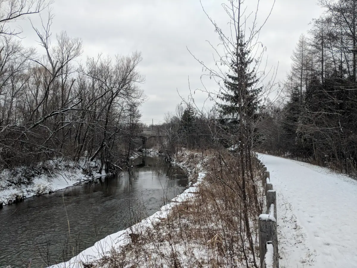
Step off the pavement in the Don Valley and the city goes quiet fast. Crothers Woods is the forest that makes a Saturday feel like a day away, with dirt trails that rise and dip through old trees and the odd view back toward the skyline.
This guide walks you through the trails by difficulty, the stories hiding under the canopy, and how to plan your approach now that one familiar bus route is gone. It pairs well with our Lower Don Trail guide, which treats the woods as a side trip.
What is Crothers Woods?
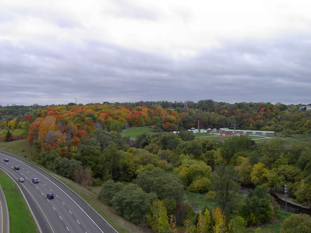
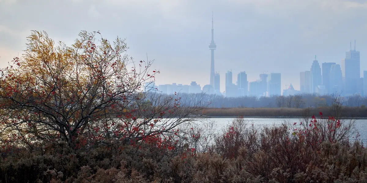
The City of Toronto describes Crothers Woods as a popular escape into nature, with around 10 km of natural trails, a diverse bird population and some spots with a view of the Toronto skyline. Its brochure calls the site a 52-hectare mature maple-beech-oak woodland where many of the trees are more than a century old. The City lists the woods at Redway Road in the Don Valley.
There is a reason it feels different from a groomed park. Crothers Woods is an Environmentally Significant Area because of its diverse, mature and relatively undisturbed forest, plus wildflowers and tree species that are rare in the Toronto region. The Toronto and Region Conservation Authority designated it in 1995, and the area was adopted as an ESA in Toronto’s Official Plan in 2015.
Which Crothers Woods trail should you start on?
Match the trail to the day you have in mind.
The main network offers approximately 9 km of multi-use, one-metre wide natural surface trails. The City says these include some steep sections and rates them as intermediate. Pack good shoes and plan for a few climbs.
For an easier first visit, the Sun Valley Trail is a 1.3 km granular-surfaced beginner trail, 2.5 metres wide, with one steep 100 metre section. The Cottonwood Flats Trail is shorter: two metres wide, 0.7 km, granular-surfaced and classified as a beginner trail. Our pick for a first-timer is Sun Valley, then a taste of the dirt trails once your legs have warmed up.
Before you set off, look for the trailhead map. A trails map is posted at the Loblaws Trailhead, and the City also publishes a brochure with the map online.
What is the story under the trees?
Crothers Woods rewards slow walking, because two of its most pleasant corners have unexpected pasts.
Sun Valley was used as a landfill for many years until its closure in 1965. Since 2004, approximately 5,000 trees have been planted there, connecting it with the adjacent forest. The City’s trails page says the Sun Valley Trail encircles the old landfill site, which is being restored as a forest ecosystem.
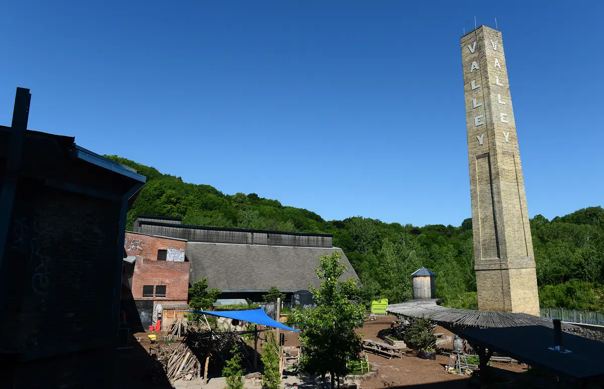
Cottonwood Flats goes back further. Its industrial heritage dates to the early 1800s, with an operating mill on site until 1858. The site later stored excess snow cleared from Toronto roads until 1999. The City says it has worked with volunteers to control invasive species, maintain trails and encourage trail users to enjoy the area responsibly.
How do you get to Crothers Woods without a car?
A quick correction for anyone using an older guide: the 56 Leaside bus no longer runs. The TTC announced that service on route 56 would be removed and replaced by Line 5 Eglinton and adjusted service on the 34 Eglinton and 51 Leslie. The changes started on Sunday, February 8, 2026, in line with the opening of Line 5 Eglinton. The 51 Leslie now connects to Line 5 at Laird Station.
Because the network changed, we suggest planning your exact stop with the TTC’s trip planner and checking it against the address and the Loblaws Trailhead on the City’s page. Our Toronto ravines guide gathers other transit-friendly options.
Prefer to arrive on foot or by shuttle? The Lower Don Trail is a 5 km multi-use section running along the Don River from Pottery Road to Corktown Commons. Evergreen also runs a free shuttle bus seven days a week, all year round, between Broadview Station and Evergreen Brick Works.
Can you snowshoe or ski in Crothers Woods?
Yes, within the City’s rules. The City’s winter page lists the Don Valley ravine trails of Crothers Woods, Sun Valley and Cottonwood Flats among its spots for snowshoeing and cross-country skiing. It adds that City parks do not have groomed cross-country ski trails, though skiing is allowed unless signs say otherwise. Our guide to snowshoeing and cross-country skiing in Toronto covers other places to try it after a good snowfall.
What trail manners keep the woods healthy?
The City’s brochure asks users to stay on the trails, keep dogs on-leash and on the trails, and not widen or cut new paths. Trails are multi-use and bi-directional unless otherwise posted. Cyclists must yield to pedestrians, and everyone should give trail users going uphill the right of way. Garbage goes in the bins, and plants, alive or dead, stay where they are.
What else is worth adding to the day?
Make it a longer outing. E.T. Seton Park is part of a chain of parks that form a forested corridor for hiking along the Don River. Its trails connect to the Lower Don Trail, the West Don Trail, Taylor Creek Trail and the East Don Trail. For more routes across the city, our best hikes in Toronto list is a good next stop.
Send this to the friend who says they never leave the downtown core. They will be surprised how fast the forest takes over.
Sources (7)
- Crothers Woods, City of Toronto
- Explore Crothers Woods, Sun Valley, Cottonwood Flats (brochure), City of Toronto
- Snowshoeing and Cross-Country Skiing, City of Toronto
- Trails, City of Toronto
- E.T. Seton Park, City of Toronto
- TTC adjusting bus routes in preparation for opening of Line 5 Eglinton, Toronto Transit Commission
- Getting here, Evergreen
Spotted something out of date? Let us know.
How did this land?
Share this
“Saving this for a crisp weekend: Crothers Woods, a Don Valley forest with trails for every level.”