Archive DeskFeature
How Yonge Street Got Its Name, and Why It Shaped Toronto
Lieutenant-Governor Simcoe named Yonge Street for Sir George Yonge. Follow the military road from 1793 to the dividing line of Toronto's street addresses.
Picture Toronto before the traffic lights: dense forest, a surveyor, a company of soldiers, and a plan to cut one very straight road.
Who was Yonge Street named after?
Sir George Yonge. Simcoe named the road after him, and the Canadian Encyclopedia describes Yonge as the secretary of war in the British Cabinet and a family friend. Heritage Toronto gives his dates as 1731 to 1812 and calls him the British Secretary of War.
The sources describe the friendship in slightly different words, and both are worth keeping. The Dictionary of Canadian Biography calls Yonge Simcoe’s neighbour, secretary at War, and a fellow enthusiast for overseas settlement. Friend and neighbour fit together nicely.
Why did Simcoe want a road?
For defence first. Simcoe proposed the “military street” as a strategic route to help protect Upper Canada from American invasion. The plan was bigger than one road. Simcoe planned major roads, with Governor’s Road (Dundas Street) running west and Yonge Street going north to the Holland River, creating a link with Georgian Bay on Lake Huron.
Toronto Public Library adds that Yonge Street was ordered built in 1793 to replace native trails leading from the capital at York to Lake Simcoe. That same year the Town of York was founded, on August 27, by Simcoe.
How was the road found and built?
On foot and by canoe, with local knowledge. Simcoe set off on September 25, 1793 with soldiers and native guides to explore north of Lake Ontario, following the Carrying Place Trail. His party reached Lac aux Claies, which he renamed Lake Simcoe to honour his father.
Then came the hard part. Augustus Jones was assigned to survey and clear the way. With the Queen’s Rangers he began at Holland Landing and worked south to York. The Rangers had already been busy on the other road, because the Dictionary of Canadian Biography says Dundas Street was Simcoe’s first priority, begun in May 1793.
To share the work, each settler along the route was charged with clearing six acres within 12 months, including a section of Yonge Street. The Canadian Encyclopedia says the route did not follow the natural contours of the land and ran as straight as an arrow from York to Holland Landing.
The Dictionary of Canadian Biography says the Rangers finally pushed Yonge Street north to the Holland River in February 1796. The Canadian Encyclopedia says its completion was announced on February 20, 1796. Two sources, one winter.
What is the short timeline?
Here is the road in four dates, each from the sources above:
- August 27, 1793: the Town of York is founded by Lieutenant-Governor Simcoe.
- September 25, 1793: Simcoe sets off with soldiers and native guides to explore north of Lake Ontario.
- February 1796: the Rangers finally push Yonge Street north to the Holland River.
- February 20, 1796: the completion of Yonge Street is announced.
Read as a set, those dates show a road planned boldly and finished with patience. More than two years of exploring, survey, clearing and settler duty sit between the first and last lines.
How do you pronounce Yonge?
Like “young.” The City of Toronto’s visitor page says so in as many words, describing Yonge Street (pronounced “young”) as Toronto’s central street. If you have heard it said another way, now you know.
How did Yonge shape Toronto’s street grid?
It became the centre line. The City says Yonge divides the city into east and west, and that street numbering on both sides begins at Yonge and increases in either direction. That is why 100 Queen St. W. and 100 Queen St. E. are different locations.
Every “East” and “West” you see on a Toronto address is quietly pointing back to Simcoe’s road. Here is the bit we love: a straight line cut for soldiers in the 1790s still tells delivery drivers where to turn.
Look at a downtown map and you can see the idea: the road is straight because the plan was, as the Canadian Encyclopedia puts it, a military road that ran as straight as an arrow.
Simcoe’s first York was a small-town plot with a plain grid of straight streets along the eastern end of the harbour, and the grid expanded as the town grew. Yonge became part of the story of who built where. Joseph Bloor, for instance, built himself a large house on the south side of the concession road, just east of Yonge Street, and not long after the road took his name. Our guide to how Toronto’s streets got their names has more of those stories.
What is Yonge Street today?
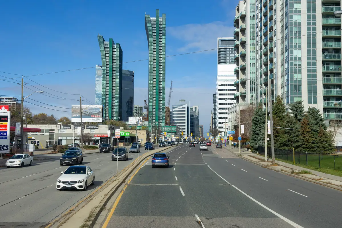
The City describes it as a major early transportation corridor often referred to as “Toronto’s Main Street.” City Council adopted the Historic Yonge Street Heritage Conservation District Plan in 2016. Heritage Toronto describes the street as extending from the north shores of Lake Ontario north to Pine Fort Landing, now called Holland Landing.
If you want to walk the story, start downtown and let the street do the talking. Look for the way the blocks open east and west from the same line.
Where can you keep reading?
The full series lives in our history of Toronto guide. Read how Toronto got its name for the origin of the city’s own word, and how Spadina got its name for another street with Indigenous roots. For more about the north end, see our North York civic centre guide.
Send this to the friend who still says “Yong.”
Sources (8)
- Yonge Street - Governor Simcoe's Military Road, The Canadian Encyclopedia
- Simcoe, John Graves, Dictionary of Canadian Biography
- Architecture of a Neighbourhood: Downtown Yonge Street, Heritage Toronto
- Toronto Reference Library at 40: The Evolution of Its Site. Part 1, Toronto Public Library
- Getting Around, City of Toronto
- Historic Yonge Street Heritage Conservation District, City of Toronto
- Resources on Former Municipalities, City of Toronto Archives
- Joseph Bloor, The Canadian Encyclopedia
Spotted something out of date? Let us know.
How did this land?
Share this
“Yonge Street started as a military road through the forest in 1793. Here is who it was named for, and why it matters.”