City DeskGuide
Toronto Neighbourhood Map: An Open Data Guide to the City
Toronto's 158 City-designated neighbourhoods, how the City draws the lines, what changed in 2022 and where to explore them on our interactive map.
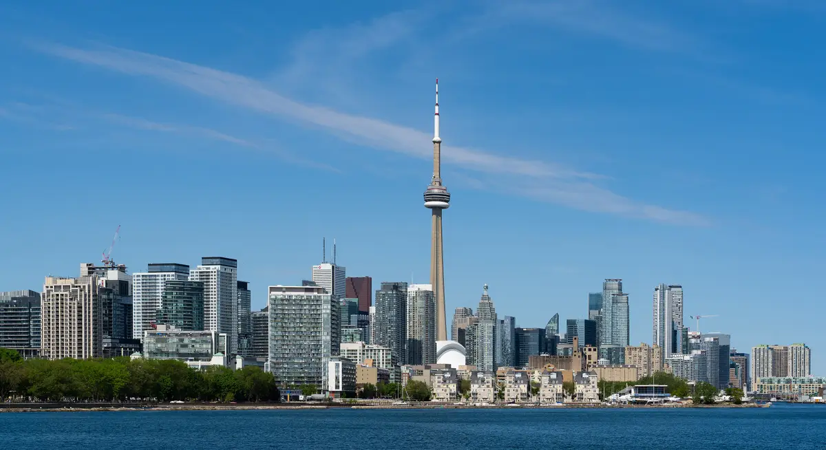
Look at Toronto from above and you see one big city; look at it through the City’s own data and you see 158 distinct places, each with its own boundary line.
The City of Toronto calls them social planning neighbourhoods and describes them as a microcosm of the city’s inhabitants, cultures and life. This guide explains where the lines come from, so you can read our interactive neighbourhood map with a bit more insider confidence.
How many neighbourhoods does Toronto have?
The City says Toronto has 158 social planning neighbourhoods. The number has not always been that high: the neighbourhoods numbered 140 from the late 1990s to March 2022, when some were split because of very high population growth. In the update, 16 high-growth neighbourhoods were split into 34 new ones, with the old ones retired. The other 124 original neighbourhoods remain the same. The City made the decision to split after the 2016 Census revealed new neighbourhood population numbers, and it says statistical analysis is more accurate when units of geography and population are more equal or comparable in size and number.
Who draws the lines, and why?
City staff developed these neighbourhoods in the 1990s as operational boundaries to collect data and improve planning and analysis. Their primary purpose is to help City staff collect data, plan, analyze and forecast City services. For statistical reporting, they were defined using Statistics Canada census tracts.
Two details make them different from other maps you may know. Unlike wards or dissemination blocks, the boundaries change very infrequently, which lets researchers study each area over time. And they do not coincide with ward or service boundaries, which the City says was intentional.
Why might the name on the map not match the name you use?
Because the names serve research first. The City says it built them from historical information, prominent features, landmarks or institutions, colloquial names and other socio-cultural information, then shortened them into compound names. It also says the names are not the final word on the cultural, historical or colloquial names of Toronto’s neighbourhoods, and that there are more than 400 historical neighbourhoods and communities in the city, most of which are not their own social planning neighbourhoods.
In other words, your corner of the city may have a favourite local name that does not appear on the official list, and that is perfectly normal. The City adds that the neighbourhoods may not fully encompass every historical, cultural, ethnic or economic neighbourhood area.
What changed in 2022?
The outer boundaries of split neighbourhoods stayed the same, with new internal lines following census tracts to distinguish the new neighbourhoods. The new ones were renamed and renumbered from 141 up, to avoid confusion between old and new data.
Two examples from the City’s update page: Woburn became Golfdale-Cedarbrae-Woburn and Woburn North, and Downsview-Roding-CFB became Oakdale-Beverley Heights and Downsview. If you have an older map or spreadsheet, check the number as well as the name before you compare.
Where does the open data live?
The Neighbourhoods dataset on the City’s open data portal describes the 158 neighbourhoods and is published in formats including GeoJSON, CSV, shapefile and GeoPackage. The licence grants a worldwide, royalty-free, perpetual, non-exclusive licence to use the information, including for commercial purposes, subject to its terms. Anyone reusing the data must credit it, and where the provider names no specific statement, the licence supplies a default one-line credit that names the Open Government Licence for Toronto.
Want to find your own neighbourhood? The City’s Find Your Neighbourhood map lets you search by address or by typing a neighbourhood name. Its Neighbourhood Profiles include detailed population data about each neighbourhood, and now carry 2021 and 2016 Census data.
How does our map use it?
The Loop TO’s map at /neighbourhoods/ draws its 158 boundaries from the City’s Neighbourhoods dataset and credits the Open Government Licence - Toronto.
Where do the old districts fit in?
Many Torontonians still say Etobicoke, North York, Scarborough or East York when they say where they live, and that is history talking. In 1953 the regional government of Metro was established with thirteen municipalities. On January 1, 1967, Forest Hill and Swansea joined Toronto, Long Branch, Mimico and New Toronto joined Etobicoke, Weston joined York and Leaside joined East York, which reduced the thirteen to six. Those six, East York, Etobicoke, North York, Scarborough, Toronto and York, amalgamated on January 1, 1998 to form the new City of Toronto.
How do you explore it?
Pick a neighbourhood on the map, or from the list, and see the stories we have filed from it. Start with a place you know, then try one you have never visited. Reading the official name beside the name you use is half the fun.
Three habits help when you read the map. Treat the lines as tools for data, not postcards. Remember that there may be smaller distinct communities inside any one neighbourhood. And if a place you care about sits near an edge, look at the neighbours on both sides, since the City suggests considering more than one neighbourhood in that case.
Four of the districts have hub pages here, so you can jump straight in: Scarborough, Etobicoke, North York and East York. Not sure where to start? Our best neighbourhoods to explore in Toronto picks are sorted by mood.
Send this to the friend who still insists their street is in a different neighbourhood.
Sources (5)
- About Toronto Neighbourhoods, City of Toronto
- Find Your Neighbourhood, City of Toronto
- Neighbourhoods (Open Data), City of Toronto Open Data
- Open Government Licence - Toronto, City of Toronto
- Resources on Former Municipalities, City of Toronto Archives
Spotted something out of date? Let us know.
How did this land?
Share this
“Saving this map guide: how Toronto's 158 City-designated neighbourhoods are drawn, and where to explore every one of them.”