Rick Harris from Toronto, Ontario, Canada / Wikimedia Commons / CC BY-SA 2.0
Corktown packs a free school from the 1840s, a park built on a flood barrier and a playground under an overpass into one walk. It rewards a slow pace, and it can end in the Distillery District.
This guide sticks to what the park managers, heritage bodies and Parks Canada say about the area. It is the east-downtown walk we would take a visiting friend on, and a good companion to our Distillery District neighbourhood page.
Why is it called Corktown?
The Ontario Heritage Trust says it comes from County Cork. Many of the area’s immigrant families were from there, and the neighbourhood became known as Corktown, a nickname it still carries. The brewer Enoch Turner is part of the same story, and you can see his schoolhouse on this walk.
Where do the West Don Lands fit in?
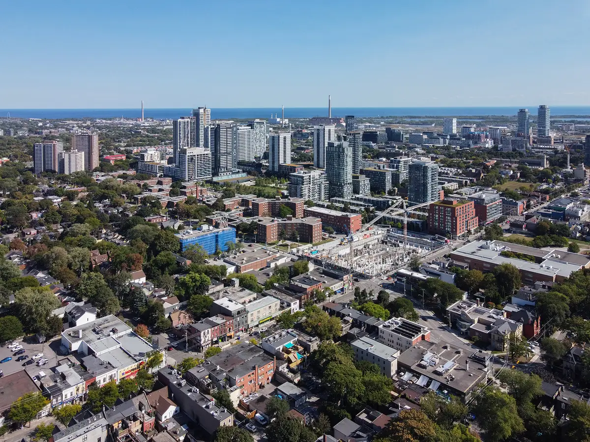
Waterfront Toronto calls Corktown Common the centrepiece of the emerging West Don Lands. It places the park east of Bayview Avenue, west of the GO and CN railroad lines and the Don River, and south of King Street to the rail corridor. Keep that in mind and the walk below falls into place.
What is Corktown Common?
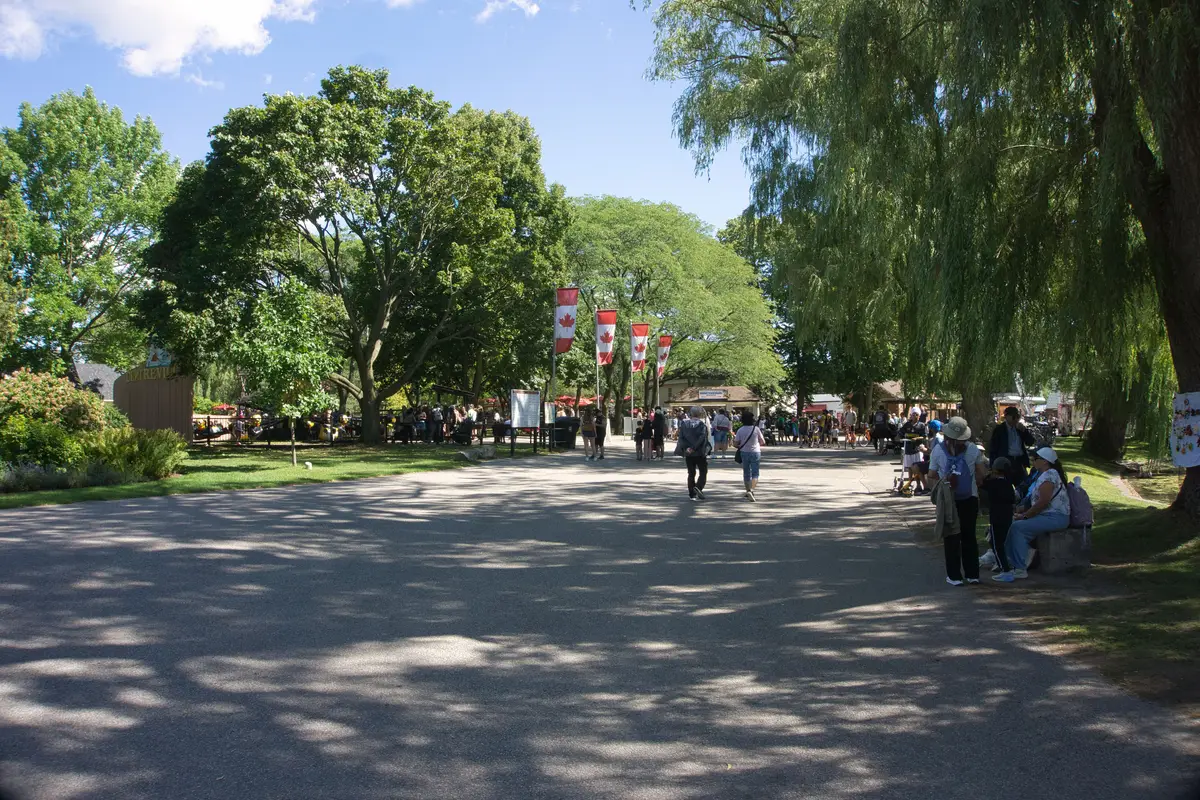
It covers 7.3 hectares, 18 acres, and Waterfront Toronto calls it the largest park in the area.
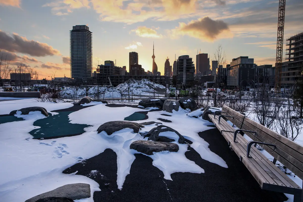
The park sits on top of a flood protection landform, and Michael Van Valkenburgh Associates designed it. The design opens up sightlines of the Toronto skyline and surrounding communities. For us, the skyline from the top of the lawns is the reason to come.
There is plenty to do once you are up there. The playgrounds, splash pad, athletic field and open lawns work for informal gatherings or organized activities. A playground sits on the central hilltop next to the pavilion. In winter, the athletic field becomes the base of a tobogganing hill.
It is also a real habitat. The park has more than 700 trees and thousands of shrubs, groundcovers and aquatic plants, and its marsh is home to birds, insects, frogs and ducks. Even the water is tidy: stormwater and splash pad water are treated with ultraviolet sterilization, then stored underground for irrigation and flushing the marsh.
The public chose the name. It was formerly Don River Park, and the new name came through a six-week online contest.
Wooden roof detail at Corktown Common.Rick Harris from Toronto, Ontario, Canada / Wikimedia Commons / CC BY-SA 2.0
Lawren Harris Square, at Bayview Avenue and Lower River Street, is designed to complement the park and opened in 2014. It is a handy meeting point.
What is Underpass Park?
A park that makes a feature of the overpass above it. Waterfront Toronto describes it as the most extensive park ever built under an overpass in Canada and the first in Toronto. It lies between Cherry Street and Bayview Avenue.
The middle section has a playground. East of River Street you will find two basketball half-courts and a skatepark. The public art, Mirage, uses reflectivity to draw people into and through the space.
Come back after dark if you can. Concrete and wood ribbons form informal benches, and they are lit by colourful lights at night.
Reflective panels under the overpass at Underpass Park.Rick Harris from Toronto, Ontario, Canada / Wikimedia Commons / CC BY-SA 2.0
Where does Corktown’s history live?
On Trinity Street, at the Enoch Turner Schoolhouse. The Ontario Heritage Trust lists it at 106 Trinity Street.
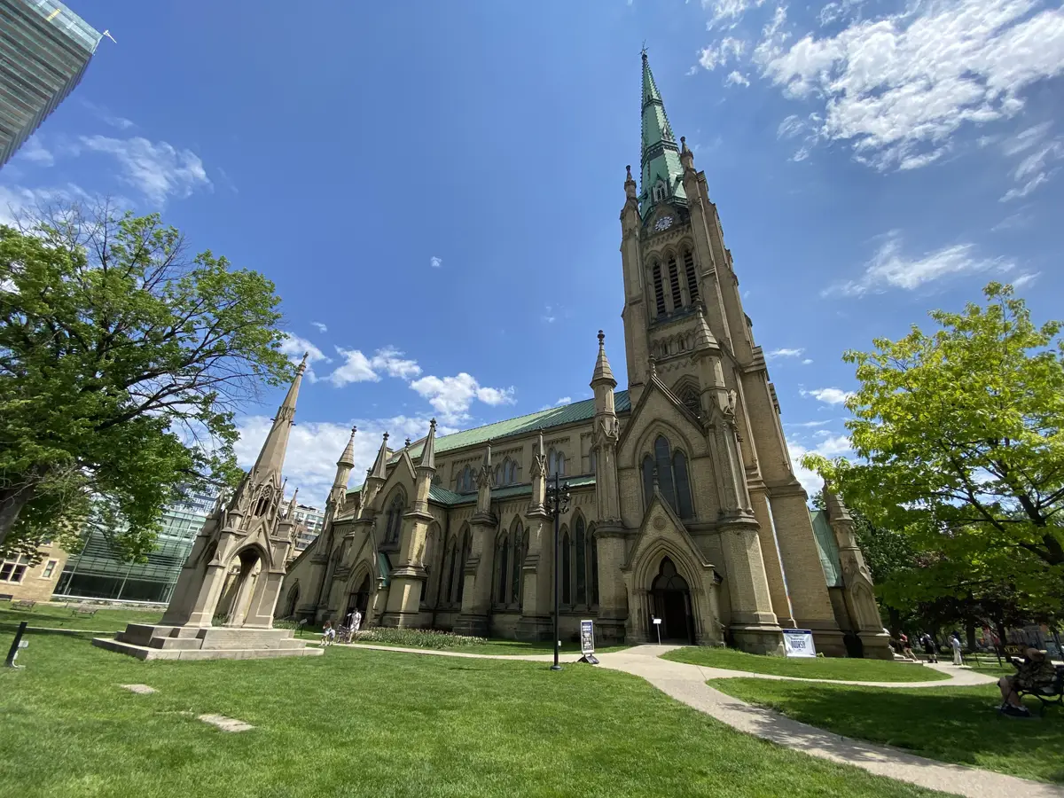
The Trust calls it a provincially significant heritage site and the oldest school still standing in Toronto. Brewer and philanthropist Enoch Turner established the original one-room school in 1848. The Trust says it opened in 1849 as the first free school in Toronto.
The land came from its neighbour, Little Trinity Church. The Foundation that supports the schoolhouse says historians believe one architect, Henry Bowyer Lane, designed both buildings at the same time.
The building kept busy after it stopped being a school in 1859. It stayed in continuous use, serving as a Sunday school and parish hall for Little Trinity until the 1960s. Today it is a public museum and a conference and special events venue, and it is fully wheelchair accessible.
The plaque on the schoolhouse gable.Eddykwok / Wikimedia Commons / CC BY-SA 3.0
How close is the Distillery District?
Close enough to make this a two-for-one afternoon. The Parks Canada description places the Gooderham and Worts complex at the intersection of Trinity and Mill streets, on the eastern edge of downtown Toronto.
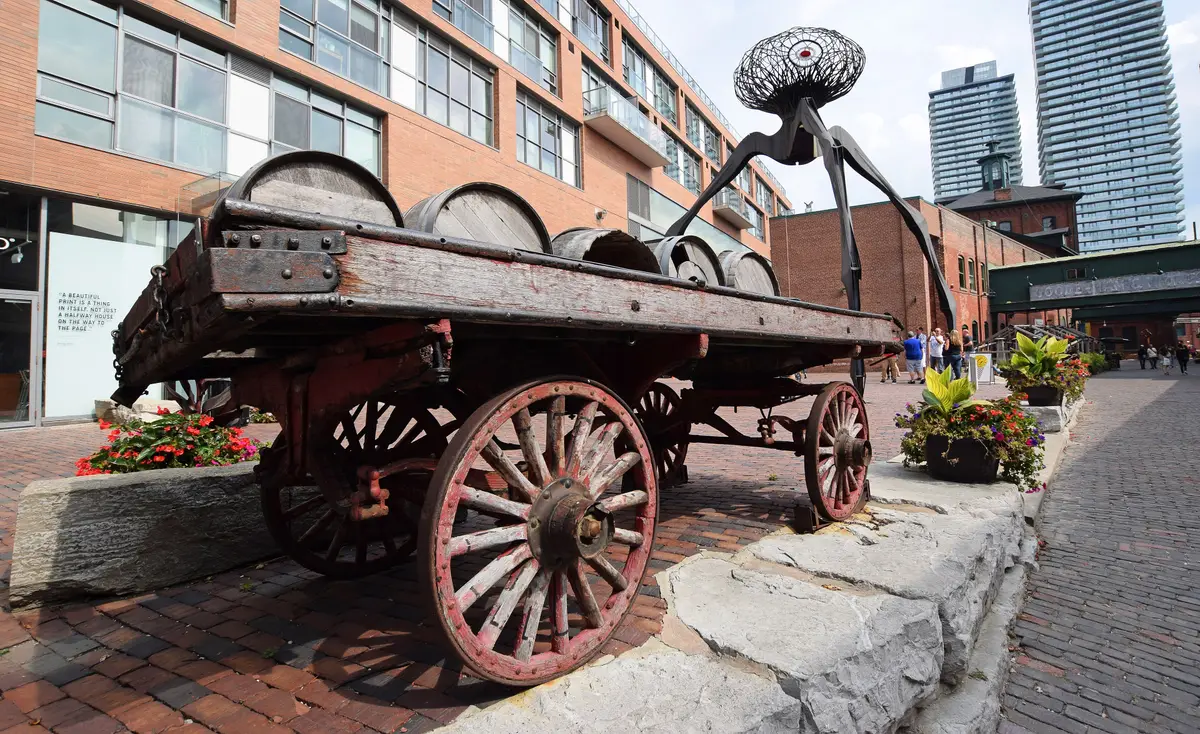
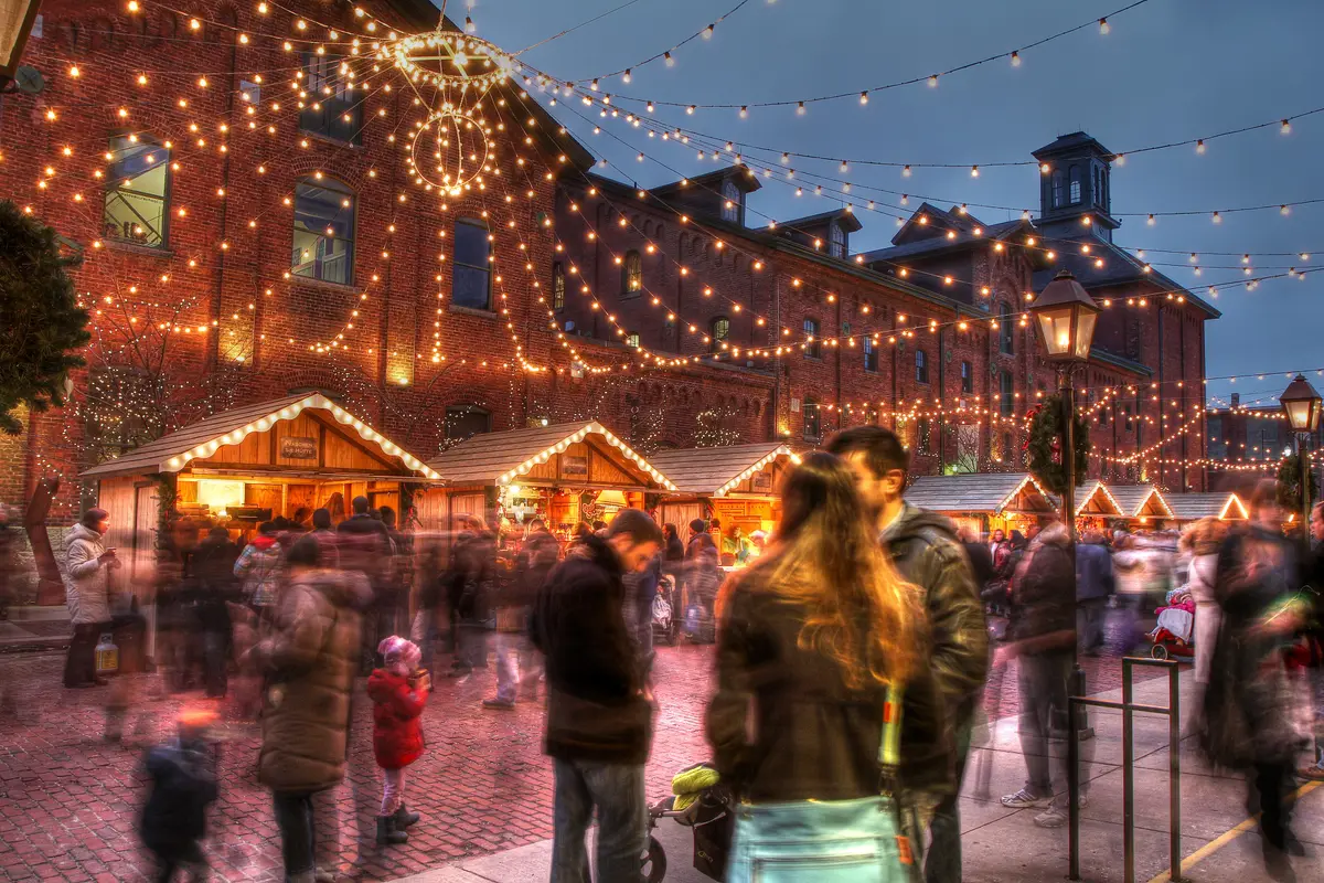
Gooderham and Worts Distillery was designated a national historic site in 1988. The complex includes 30 brick and stone industrial buildings on 13 acres. Parks Canada calls it an outstanding example of Victorian industrial design.
Waterfront Toronto’s own directions are simple: take the 504 King streetcar to Lower River Street. You can enter the park from Bayview Avenue at Lower River Street, or from the Don Valley Trail at the Bala Underpass. The park is not accessible by car and parking is not available.
The Ontario Heritage Trust also lists the 504 streetcar for the schoolhouse, from King and Broadview subway stations to the Trinity Street stop. Check the TTC for current streetcar routing before you go.
The Don Valley Trail link makes a nice add-on for walkers and cyclists. Our Lower Don Trail guide shows how to follow the river north from Corktown Common.
What is the easiest Corktown loop?
Our pick, in this order:
Start at Lawren Harris Square and climb Corktown Common for the skyline.
Drop down to Underpass Park, which Waterfront Toronto places between Cherry Street and Bayview Avenue.
Head to Trinity Street for the Enoch Turner Schoolhouse.
Finish in the Distillery lanes, and keep going east to our Regent Park guide if you want a second neighbourhood.
Send this to the friend you would bring for the skyline.