Archive DeskFeature
History of Etobicoke, Toronto: The Name and the Lakeshore
From a Mississauga word for alders to the Lake Shore towns of Mimico, New Toronto and Long Branch, here is how Etobicoke got its name and its shape.
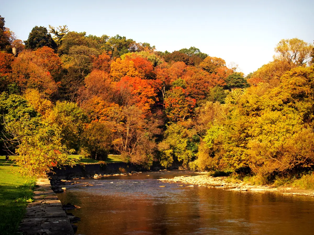
Say the name out loud and you are speaking Mississauga. Etobicoke began as a description of a place, not a person: the Etobicoke Historical Society says the Mississauga First Nation called Etobicoke Creek and the land around it “Adobigok”, meaning “where the alders grow.” The Mississaugas of the Credit First Nation spells the creek’s name Adoopekog, “place of the alders.”
Where does the name Etobicoke come from?
The Mississaugas had moved from the Mississagi River area on Lake Huron to the north shore of Lake Ontario around 1700. The Mississaugas of the Credit say they gave descriptive names to many of the waters flowing into Lake Ontario. At least twice a year, in spring and fall, they gathered at their fishing grounds on the creeks to take advantage of the salmon. When the 1805 agreement was made, the Mississaugas of the Credit reserved the exclusive right to fish on Etobicoke Creek. Today Etobicoke lies within the boundaries of the Toronto Purchase Treaty lands.
Here is the smile. John Graves Simcoe wanted to rename the Etobicoke River and the township on its eastern bank “Smith”, and his Executive Council outvoted him. Etobicoke became the official name of both the river and the township in 1795. Be glad the vote went the way it did.
How did Etobicoke become a township?
The first survey was finished in 1795 by Abraham Iredell, who divided the township’s 31,000 acres into 100 acre farm lots. Roads and mills came early. In 1792 Simcoe had the first road through Etobicoke surveyed, running west from York along the shore of Lake Ontario and following an ancient trail. It is Lake Shore Boulevard today. A year later he built the King’s Sawmill on the Humber River, next to today’s Old Mill Inn, which the Etobicoke Historical Society calls the first industrial building in the Toronto area.
Farming took over from there. The soil was excellent, and farmers specialized in wheat, dairy, livestock and fruit. In the late 19th and early 20th centuries, market gardening became popular in parts of the township including Humber Bay, Sunnylea and Richview.
Local government started small. The first Etobicoke council meeting was held on January 21, 1850, in Mr. Kay’s Inn on Dundas Street. In 1888 the township bought the former Islington Methodist Church to be its first Township Hall, which made Islington the centre of municipal government. The Great Western Railway began service across Etobicoke in 1854, along the lake shore.
Why is Islington called Islington?
Because an innkeeper’s wife helped the village choose. Islington was originally called Mimico, and in 1859 it needed a new name for its post office because Mimico was already taken. The attendees at the naming meeting were undecided and asked the innkeeper’s wife for help, and she suggested “Islington”, her English birthplace.
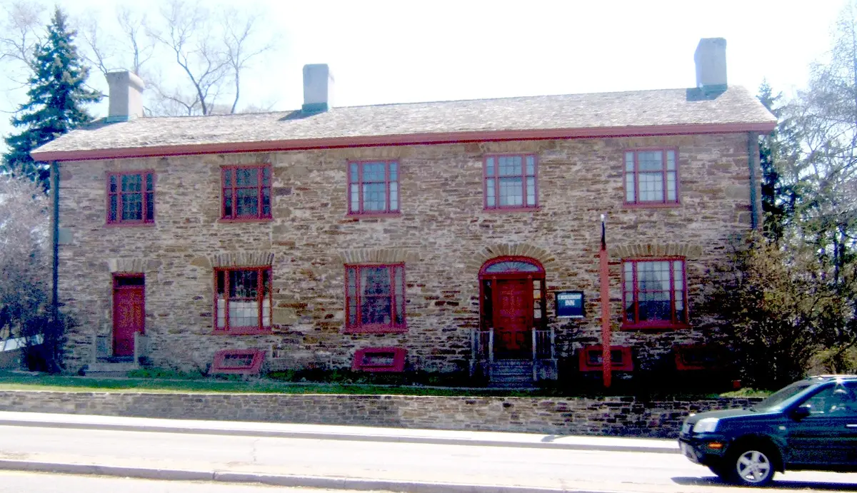
You can still feel that era at Montgomery’s Inn, a City of Toronto museum built in the 1830s to shelter travellers. It sits on the southeast corner of Dundas Street West and Islington Avenue. The village around it is now a walking gallery, and our guide to the Islington Village murals picks up the story from there.
Other names in the township have stories too. Sunnylea received its name when a seven year old won a contest in 1907 for suggesting it for the area’s new school. Thistletown got its name in 1851, when residents needed a post office and chose to honour the village’s doctor.
How did the lakeshore towns grow?
Three towns grew up along the water, each with its own personality.
Mimico developed mainly as a residential area west of Mimico Creek, with more modest housing for railway workers north of Lake Shore Boulevard and large summer homes along the waterfront. It was incorporated as an independent village in 1910 and as a town in 1917. If you want to walk it today, start with our Mimico guide.
New Toronto had a different plan. In 1890 a group of industrialists planned it as a lakefront manufacturing subdivision between Long Branch and Mimico. It covered only one square mile, yet the Etobicoke Historical Society says it once had the highest value of manufacturing per square mile in North America. It became an independent village in 1913 and a town in 1923.
Long Branch was the summer escape. It developed east of Etobicoke Creek as a recreation area, with Torontonians building cottages from 1884, and it became an independent village in 1930. Humber Bay, between the Humber River and Mimico Creek, has always had strong links to boat building and recreation.
What changed after the Second World War?
Everything, quickly. It took Etobicoke 146 years to reach a population of 19,000 in 1941. By 1951 it was 54,000, by 1961 it was 156,000, and by 1971 it was 283,000. Over those decades almost all of the farmland became housing, industry or support services such as schools and shops. Names like Rexdale, Humber Valley Village, Kipling Heights, Humberwood, Beaumonde Heights and Markland Wood joined the list of Etobicoke communities.
How did Etobicoke become part of Toronto?
In 1967 Mimico, New Toronto and Long Branch were amalgamated with Etobicoke to form the Borough of Etobicoke, which became the City of Etobicoke in 1983. Etobicoke then became part of the amalgamated City of Toronto in 1998. The legal name changed. The way people say “I’m from Etobicoke” did not.
Where can you see this history today?
Start with the neighbourhood itself: our Etobicoke hub pulls together the walks, meals and murals. If this made you curious about other names, the history of Toronto guides cover how more of the city got its name. When you are hungry after all that walking, the Etobicoke restaurant route runs from the lakeshore to Kipling.
Send this to the friend who still insists the K in Etobicoke is silent.
Sources (5)
- A Brief History of Etobicoke: From Township to Amalgamation, Etobicoke Historical Society
- A Brief Overview of Etobicoke's Historic Communities, Etobicoke Historical Society
- Mississaugas were a people of the waters, Mississaugas of the Credit First Nation
- The Toronto Purchase Treaty, No. 13 (1805), Mississaugas of the Credit First Nation
- Montgomery's Inn, City of Toronto
Spotted something out of date? Let us know.
How did this land?
Share this
“Saving this for Saturday: the Mississauga word behind Etobicoke's name, and the lakeshore towns that grew around it.”