City DeskGuide
Golden Mile Toronto: What Line 5 Changes on Eglinton East
Line 5 Eglinton now stops along the Golden Mile, and the City has a plan for new parks, streets and trail links. Here is what is changing, stop by stop.
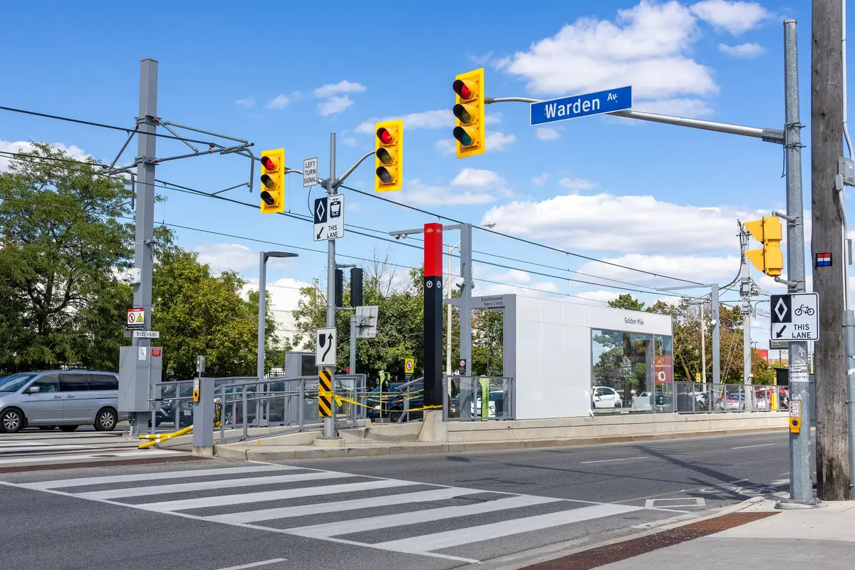
The Golden Mile has a new way in, and it is called Line 5 Eglinton.
Line 5 Eglinton now brings light rail to Eglinton Avenue East, and the City has a plan that looks 20-plus years ahead. Here is the lay of the land.
What is the Golden Mile in Toronto?
The name has history. After the Second World War, large manufacturing buildings went up along Eglinton Avenue East between Pharmacy Avenue and Birchmount Road, and the area became known as the “Golden Mile of Industry.” City staff describe the Golden Mile as shaped by agricultural, industrial and commercial eras of development.
Today the City describes the area as large-format retail buildings and surface parking, with low-rise commercial and industrial buildings north and south of Eglinton Avenue East. The City’s planning study area is generally bounded by Victoria Park Avenue, Ashtonbee Road and the Hydro Corridor, and Birchmount Road, and covers about 113 hectares.
Which Line 5 stops serve the Golden Mile?
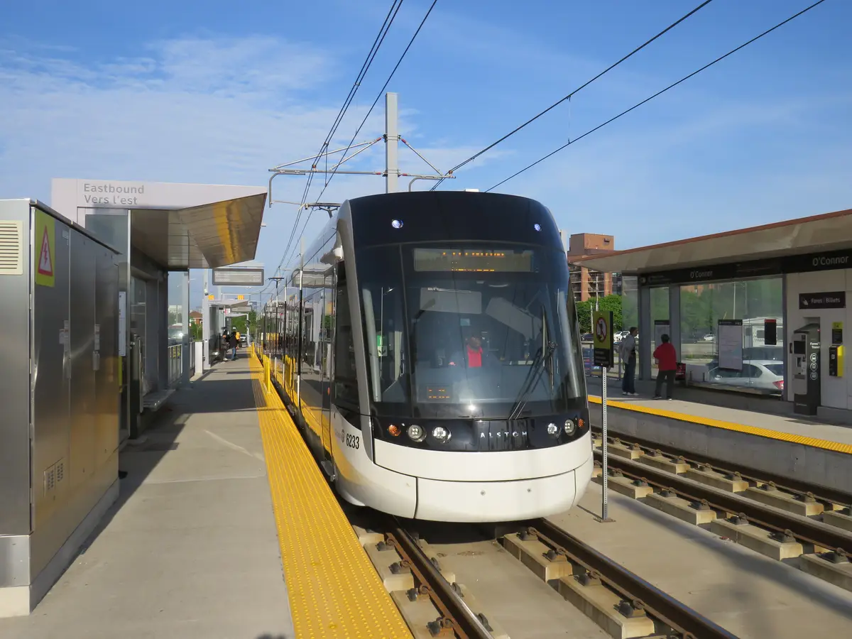
Line 5 Eglinton is open to the public. The TTC’s introductory service period on the line started on Sunday, February 8, 2026. It is a 19-kilometre line running from Mount Dennis Station in the west to Kennedy Station in the east. With 25 stations and stops, it connects riders to the Line 1 and 2 subways, 68 bus routes, the Kitchener and Stouffville GO lines and UP Express.
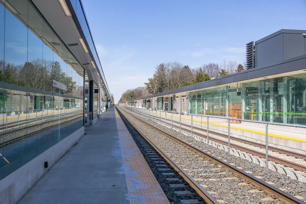
Heading east from O’Connor, the stops are Pharmacy, Hakimi Lebovic, Golden Mile, Birchmount and Ionview, then Kennedy. Birchmount and Ionview are surface-level accessible stops with parallel side platforms.
Paying is simple. Riders use PRESTO, debit or credit card, the same way they pay for other TTC services, and One Fare means one payment when transferring between GO Transit, the TTC and participating transit agencies. The TTC operates the line. All trains serve every station, so you can board at any point along the route and do not need to start at the end of the line.
At the east end, Kennedy Station connects to Stouffville line GO trains and TTC Line 2, with a future connection to the Scarborough Subway Extension. Line 5 will also have future links to the Eglinton Crosstown West Extension and the Ontario Line.
What is the City’s plan for the Golden Mile?
City Council adopted the Golden Mile Secondary Plan and Urban Design Guidelines on October 27, 2020, and the Ontario Land Tribunal brought the plan into effect, as modified, on December 13, 2024.
The Secondary Plan envisions the Golden Mile as both a destination and a place for residents, workers and visitors to live, work, shop and play. The City says the plan has the potential to accommodate approximately 24,000 residential units, 43,000 residents and 19,000 jobs over the next 20-plus years.
What does that look like at street level? The plan provides for nine new parks. The West, Central and East Districts will each have at least one Community Park plus local parks and parkettes, and the Employment District will have at least one park for workers. It calls for new and widened streets with better pedestrian and cycling movement, and public art that celebrates the cultural and natural heritage of the Golden Mile.
Near the stops, the plan asks for privately owned but publicly accessible spaces, including generous urban plazas at the LRT stops. Where streets end or meet parks, it calls for Green Nodes that serve as centres of community and cultural activities. Along the buildings themselves, it wants active at-grade commercial, residential, community and institutional uses to foster a human-scaled, pedestrian-oriented environment.
The City sees a mix of tall, mid and low-rise buildings ranging from 4 to 35 storeys. The greatest design emphasis falls on the areas around the Eglinton and Victoria Park gateway, the transit nodes at the LRT stops, the new parks and the existing and new streets. In plain terms, the areas around the stops are meant to get a lot of design attention.
None of this arrives overnight, and that is part of the appeal. Anyone who rides out this season gets to see the first chapter of a long story.
How does The Meadoway fit in?
The plan calls for pedestrian and cycling routes that connect to Ashtonbee Reservoir Park and the Gatineau Hydro Corridor north of the Golden Mile, known as The Meadoway.
The Meadoway is 16 kilometres of hydro corridor being revitalized into publicly accessible and ecologically diverse lands, stretching from the Don River to Rouge National Urban Park. One recent stretch, opened in 2023 at Highland Creek, added a 2-kilometre multi-use trail surrounded by 16 hectares of restored meadow. TRCA says that once complete, the corridor will be one of Canada’s largest linear urban parks, a naturalized link between Rouge National Urban Park and downtown Toronto. Put a light rail stop and a meadow trail in the same neighbourhood and you have the makings of a very good Saturday.
Where to go next
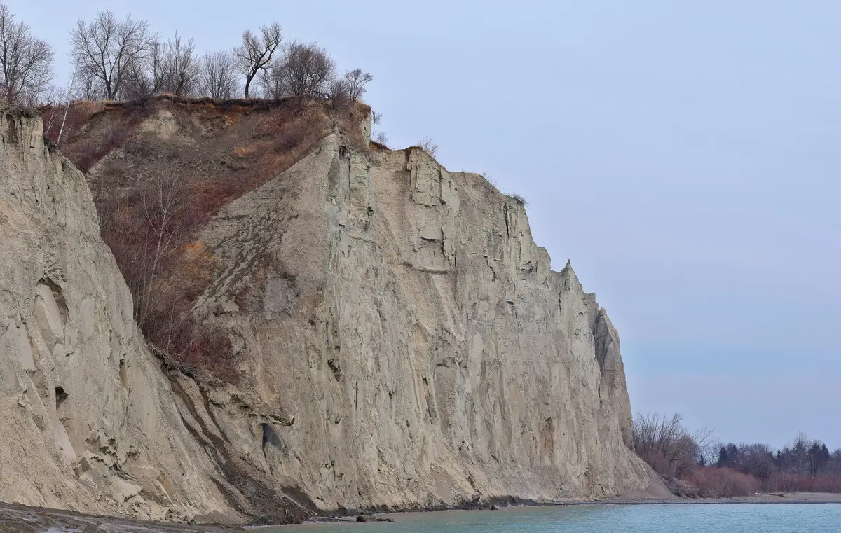
The Golden Mile sits inside our wider coverage of the east end. Our Scarborough hub gathers it all, and our Line 5 Eglinton guide covers the whole route. If you are making a day of it, pair the ride with a meal from our Scarborough restaurants guide or a view from the Scarborough Bluffs.
One new stop, one long plan, and a meadow trail waiting just north.Send this to the friend who has been asking when the Golden Mile gets its glow-up.
Sources (11)
- Line 5 Eglinton now open, Metrolinx
- Line 5 Eglinton unlocks transit connections across the GTA, Metrolinx
- Eglinton Crosstown LRT: What We're Building, Metrolinx
- Birchmount and Ionview Crosstown stops pave the way, Metrolinx
- TTC to begin phased start to service on Line 5 Eglinton, Toronto Transit Commission
- Line 5 Eglinton set to open Sunday; TTC reminds customers about multiple boarding points along the line, Toronto Transit Commission
- Golden Mile Secondary Plan Study, City of Toronto
- Overview: Golden Mile Secondary Plan Study, City of Toronto
- Golden Mile Secondary Plan: Final Report, City of Toronto
- Government of Canada Supports the Meadoway, Toronto and Region Conservation Authority
- New Meadoway Trail Connection, Toronto and Region Conservation Authority
Spotted something out of date? Let us know.
How did this land?
Share this
“Saving this for the next ride east: the Golden Mile now has a Line 5 stop, and a whole new plan behind it.”